Distance to and from Angela, Montana
Angela, MT 59301
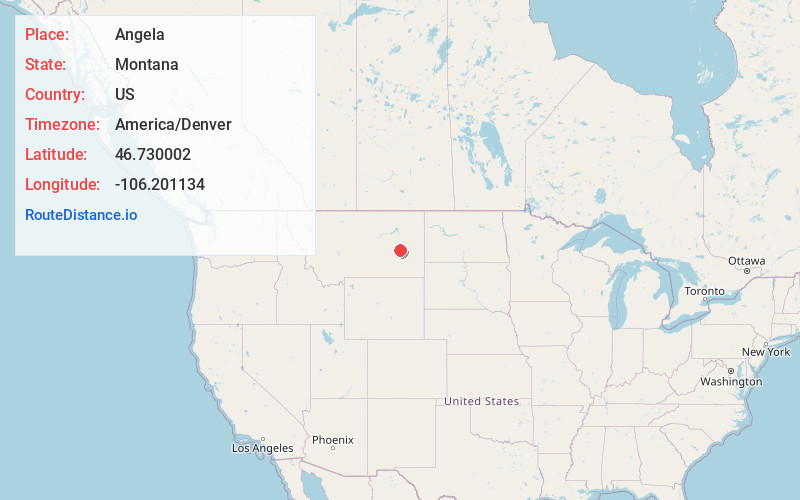
Angela
Montana
US
America/Denver
Location Information
-
Full AddressAngela, MT 59301
-
Coordinates46.730002, -106.2011344
-
LocationAngela , Montana , US
-
TimezoneAmerica/Denver
-
Current Local Time6:06:53 PM America/DenverSaturday, May 3, 2025
-
Page Views0
Directions to Nearest Cities
About Angela
Angela is an unincorporated community in Rosebud County, Montana, United States. It is located 25 miles northwest of Miles City, along Montana Highway 59 at an elevation of 2923 feet. Angela is inside area code 406 and has a post office with ZIP code 59312.
Nearby Places
Found 6 places within 50 miles

Horton
27.7 mi
44.6 km
Horton, MT 59301
Get directions

Miles City
28.1 mi
45.2 km
Miles City, MT 59301
Get directions

Rosebud
33.5 mi
53.9 km
Rosebud, MT 59347
Get directions

Forsyth
39.5 mi
63.6 km
Forsyth, MT 59327
Get directions

Terry
42.3 mi
68.1 km
Terry, MT 59349
Get directions
Brockway
44.3 mi
71.3 km
Brockway, MT
Get directions
Location Links
Local Weather
Weather Information
Coming soon!
Location Map
Static map view of Angela, Montana
Browse Places by Distance
Places within specific distances from Angela
Short Distances
Long Distances
Click any distance to see all places within that range from Angela. Distances shown in miles (1 mile ≈ 1.61 kilometers).