Distance to and from Angels Grove, Utah
Angels Grove, UT 84074
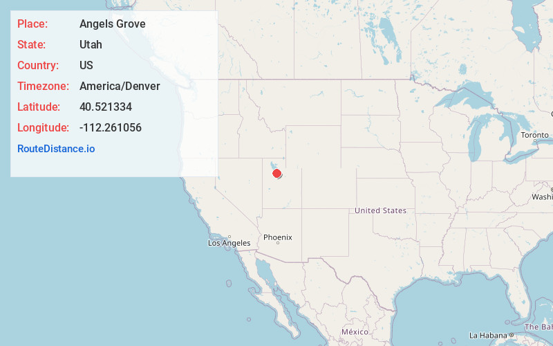
Angels Grove
Utah
US
America/Denver
Location Information
-
Full AddressAngels Grove, UT 84074
-
Coordinates40.5213335, -112.2610562
-
LocationAngels Grove , Utah , US
-
TimezoneAmerica/Denver
-
Current Local Time11:04:55 AM America/DenverSaturday, May 3, 2025
-
Page Views0
Directions to Nearest Cities
Nearby Places
Found 10 places within 50 miles

Tooele
2.1 mi
3.4 km
Tooele, UT 84074
Get directions

Pine Canyon
3.0 mi
4.8 km
Pine Canyon, UT 84074
Get directions
Bauer
6.3 mi
10.1 km
Bauer, UT 84071
Get directions

Erda
6.7 mi
10.8 km
Erda, UT
Get directions

Stockton
7.2 mi
11.6 km
Stockton, UT 84071
Get directions

Copperton
9.1 mi
14.6 km
Copperton, UT 84006
Get directions
Snyder
9.5 mi
15.3 km
Snyder, UT 84096
Get directions
Robbe
10.4 mi
16.7 km
Robbe, UT 84096
Get directions

Ophir
10.5 mi
16.9 km
Ophir, UT
Get directions

Grantsville
12.0 mi
19.3 km
Grantsville, UT
Get directions
Tooele
2.1 mi
3.4 km
Tooele, UT 84074
Pine Canyon
3.0 mi
4.8 km
Pine Canyon, UT 84074
Bauer
6.3 mi
10.1 km
Bauer, UT 84071
Erda
6.7 mi
10.8 km
Erda, UT
Stockton
7.2 mi
11.6 km
Stockton, UT 84071
Copperton
9.1 mi
14.6 km
Copperton, UT 84006
Snyder
9.5 mi
15.3 km
Snyder, UT 84096
Robbe
10.4 mi
16.7 km
Robbe, UT 84096
Ophir
10.5 mi
16.9 km
Ophir, UT
Grantsville
12.0 mi
19.3 km
Grantsville, UT
Location Links
Local Weather
Weather Information
Coming soon!
Location Map
Static map view of Angels Grove, Utah
Browse Places by Distance
Places within specific distances from Angels Grove
Short Distances
Long Distances
Click any distance to see all places within that range from Angels Grove. Distances shown in miles (1 mile ≈ 1.61 kilometers).