Distance to Ophir, Utah

Calculating Your Route
Just a moment while we process your request...
Location Information
-
Full AddressOphir, UT
-
Coordinates40.3694987, -112.2555398
-
LocationOphir , Utah , US
-
TimezoneAmerica/Denver
-
Current Local Time5:28:07 PM America/DenverThursday, June 19, 2025
-
Page Views0
About Ophir
Ophir is a census-designated place in Tooele County, Utah, United States. It is part of the Salt Lake City, Utah Metropolitan Statistical Area. The population was 23 at the 2000 census, a decrease of two from the 1990 figure of 25.


Nearby Places
Found 10 places within 50 miles

Stockton
8.0 mi
12.9 km
Stockton, UT 84071
Get directions

Cedar Fort
8.6 mi
13.8 km
Cedar Fort, UT 84013
Get directions

Rush Valley
10.3 mi
16.6 km
Rush Valley, UT
Get directions

Fairfield
11.3 mi
18.2 km
Fairfield, UT 84013
Get directions

Tooele
11.4 mi
18.3 km
Tooele, UT 84074
Get directions

Eagle Mountain
13.6 mi
21.9 km
Eagle Mountain, UT
Get directions

Herriman
15.4 mi
24.8 km
Herriman, UT
Get directions

Copperton
15.8 mi
25.4 km
Copperton, UT 84006
Get directions

Erda
17.0 mi
27.4 km
Erda, UT
Get directions

Bluffdale
18.6 mi
29.9 km
Bluffdale, UT
Get directions
Location Links
Local Weather
Weather Information
Coming soon!
Location Map
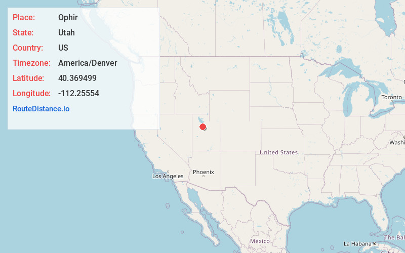
Static map view of Ophir, Utah
Browse Places by Distance
Places within specific distances from Ophir
Short Distances
Long Distances
Click any distance to see all places within that range from Ophir. Distances shown in miles (1 mile ≈ 1.61 kilometers).