Distance to Angiola, California

Calculating Your Route
Just a moment while we process your request...
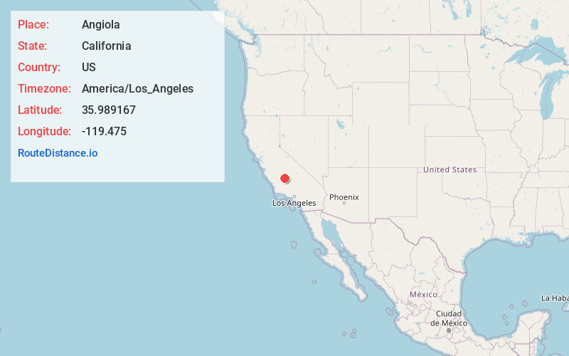
Location Information
-
Full AddressAngiola, CA 93212
-
Coordinates35.989167, -119.475
-
LocationAngiola , California , US
-
TimezoneAmerica/Los_Angeles
-
Current Local Time12:28:51 PM America/Los_AngelesSaturday, June 21, 2025
-
Page Views0
About Angiola
Angiola is an unincorporated community in Tulare County, California, United States. Angiola is located on California State Route 43, 13 miles west-northwest of Earlimart, along the route of the San ...
Nearby Places
Found 10 places within 50 miles

Stoil
5.6 mi
9.0 km
Stoil, CA 93219
Get directions

Alpaugh
7.0 mi
11.3 km
Alpaugh, CA 93201
Get directions

Corcoran
8.9 mi
14.3 km
Corcoran, CA 93212
Get directions
Quail
9.7 mi
15.6 km
Quail, Pixley, CA 93272
Get directions

Tipton
10.3 mi
16.6 km
Tipton, CA 93272
Get directions

Pixley
10.3 mi
16.6 km
Pixley, CA
Get directions
Waukena
10.5 mi
16.9 km
Waukena, CA 93274
Get directions

Allensworth
11.0 mi
17.7 km
Allensworth, CA 93219
Get directions
Teviston
11.6 mi
18.7 km
Teviston, CA
Get directions
Octol
12.4 mi
20.0 km
Octol, Tulare, CA 93274
Get directions
Location Links
Local Weather
Weather Information
Coming soon!
Location Map
Static map view of Angiola, California
Browse Places by Distance
Places within specific distances from Angiola
Short Distances
Long Distances
Click any distance to see all places within that range from Angiola. Distances shown in miles (1 mile ≈ 1.61 kilometers).