Distance to Pixley, California

Calculating Your Route
Just a moment while we process your request...
Location Information
-
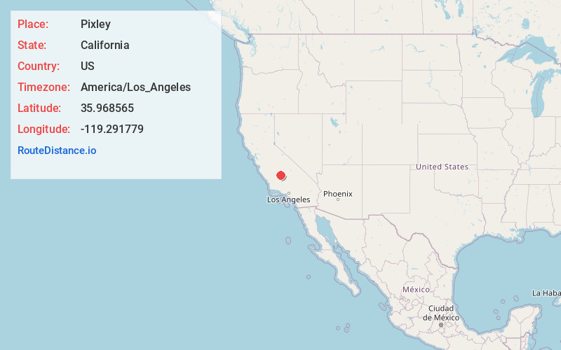
Full AddressPixley, CA
-
Coordinates35.9685648, -119.2917785
-
LocationPixley , California , US
-
TimezoneAmerica/Los_Angeles
-
Current Local Time9:39:00 PM America/Los_AngelesSunday, May 25, 2025
-
Page Views0
About Pixley
Pixley is a census-designated place in Tulare County, California, United States. The population was 3,310 at the 2010 census, up from 2,586 at the 2000 census.


Nearby Places
Found 10 places within 50 miles

Earlimart
5.9 mi
9.5 km
Earlimart, CA 93219
Get directions

Delano
14.0 mi
22.5 km
Delano, CA
Get directions

Porterville
16.8 mi
27.0 km
Porterville, CA 93257
Get directions

Tulare
16.8 mi
27.0 km
Tulare, CA 93274
Get directions

Corcoran
17.5 mi
28.2 km
Corcoran, CA 93212
Get directions

East Porterville
18.7 mi
30.1 km
East Porterville, CA 93257
Get directions

Lindsay
19.8 mi
31.9 km
Lindsay, CA 93247
Get directions

McFarland
20.4 mi
32.8 km
McFarland, CA 93250
Get directions

Farmersville
23.2 mi
37.3 km
Farmersville, CA
Get directions

Exeter
24.1 mi
38.8 km
Exeter, CA 93221
Get directions
Location Links
Local Weather
Weather Information
Coming soon!
Location Map
Static map view of Pixley, California
Browse Places by Distance
Places within specific distances from Pixley
Short Distances
Long Distances
Click any distance to see all places within that range from Pixley. Distances shown in miles (1 mile ≈ 1.61 kilometers).