Distance to McFarland, California

Calculating Your Route
Just a moment while we process your request...
Location Information
-
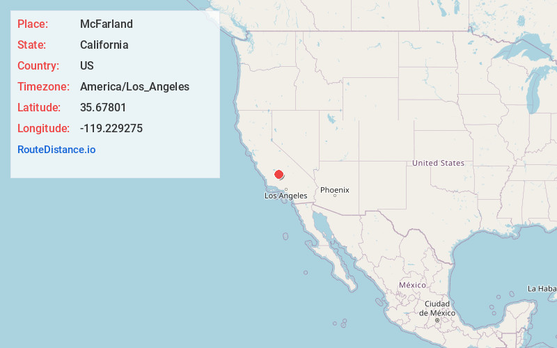
Full AddressMcFarland, CA 93250
-
Coordinates35.6780104, -119.2292748
-
LocationMcFarland , California , US
-
TimezoneAmerica/Los_Angeles
-
Current Local Time2:27:28 AM America/Los_AngelesWednesday, June 18, 2025
-
Page Views0
About McFarland
McFarland is a city in the San Joaquin Valley, in Kern County, California, United States. McFarland is located 25 miles north-northwest of Bakersfield and 6.5 miles south of Delano, at an elevation of 354 feet. The population of McFarland was 12,707 at the 2010 census and an estimated 15,506 as of 2019.


Nearby Places
Found 10 places within 50 miles

Delano
6.4 mi
10.3 km
Delano, CA
Get directions

Wasco
8.5 mi
13.7 km
Wasco, CA 93280
Get directions

Shafter
12.4 mi
20.0 km
Shafter, CA
Get directions

Rosedale
20.9 mi
33.6 km
Rosedale, CA
Get directions

Oildale
21.4 mi
34.4 km
Oildale, CA 93308
Get directions

Bakersfield
24.1 mi
38.8 km
Bakersfield, CA
Get directions

Porterville
29.3 mi
47.2 km
Porterville, CA 93257
Get directions

Corcoran
34.4 mi
55.4 km
Corcoran, CA 93212
Get directions

Tulare
37.2 mi
59.9 km
Tulare, CA 93274
Get directions

Arvin
39.8 mi
64.1 km
Arvin, CA 93203
Get directions
Location Links
Local Weather
Weather Information
Coming soon!
Location Map
Static map view of McFarland, California
Browse Places by Distance
Places within specific distances from McFarland
Short Distances
Long Distances
Click any distance to see all places within that range from McFarland. Distances shown in miles (1 mile ≈ 1.61 kilometers).