Distance to Anita, Indiana

Calculating Your Route
Just a moment while we process your request...
Location Information
-
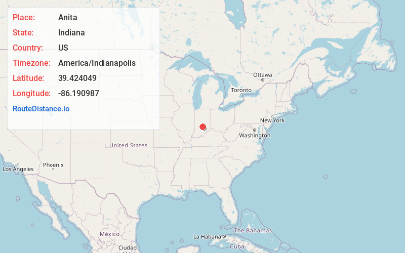
Full AddressAnita, IN 46181
-
Coordinates39.4240489, -86.190987
-
LocationAnita , Indiana , US
-
TimezoneAmerica/Indianapolis
-
Page Views0
About Anita
Anita is an extinct town in Hensley Township, Johnson County, Indiana, United States.
Anita was the site of an Illinois Central Railroad passenger depot, the station house of which was moved and converted to a home near Trafalgar in 1936.
By the 1980s, Anita had been depopulated.
Nearby Places
Found 10 places within 50 miles

Bud
1.8 mi
2.9 km
Bud, Union Township, IN 46131
Get directions

Trafalgar
2.2 mi
3.5 km
Trafalgar, IN 46181
Get directions

Johnson County
4.1 mi
6.6 km
Johnson County, IN
Get directions
Providence
4.7 mi
7.6 km
Providence, IN 46106
Get directions

Morgantown
5.2 mi
8.4 km
Morgantown, IN 46160
Get directions
Peoga
6.1 mi
9.8 km
Peoga, IN 46164
Get directions
Spearsville
6.5 mi
10.5 km
Spearsville, IN 46160
Get directions
Old Bargersville
6.7 mi
10.8 km
Old Bargersville, Bargersville, IN 46131
Get directions

Bargersville
6.8 mi
10.9 km
Bargersville, IN
Get directions

Princes Lakes
6.9 mi
11.1 km
Princes Lakes, IN
Get directions
Location Links
Local Weather
Weather Information
Coming soon!
Location Map
Static map view of Anita, Indiana
Browse Places by Distance
Places within specific distances from Anita
Short Distances
Long Distances
Click any distance to see all places within that range from Anita. Distances shown in miles (1 mile ≈ 1.61 kilometers).