Distance to Antero Junction, Colorado

Calculating Your Route
Just a moment while we process your request...
Location Information
-
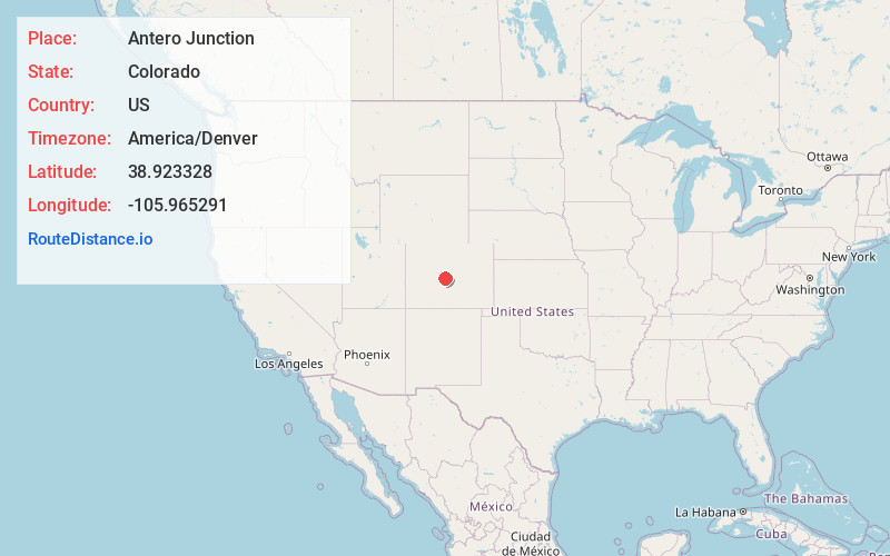
Full AddressAntero Junction, CO 80449
-
Coordinates38.9233281, -105.9652906
-
LocationAntero Junction , Colorado , US
-
TimezoneAmerica/Denver
-
Current Local Time3:37:04 AM America/DenverWednesday, June 18, 2025
-
Page Views0
About Antero Junction
Antero Junction is an extinct town located in Park County, Colorado, United States. The townsite is located at coordinates 38.9233°N 105.9653°W} at an elevation of 9,187 feet. Antero Junction is located at the junction of U.S. Route 285 and U.S. Route 24.

Nearby Places
Found 10 places within 50 miles

Haver
3.5 mi
5.6 km
Haver, CO 80449
Get directions
Newett
4.1 mi
6.6 km
Newett, CO 80449
Get directions

Buena Vista
10.5 mi
16.9 km
Buena Vista, CO 81211
Get directions
Americus
10.8 mi
17.4 km
Americus, CO 81211
Get directions

Johnson Village
10.9 mi
17.5 km
Johnson Village, CO 81211
Get directions

Hartsel
11.4 mi
18.3 km
Hartsel, CO 80449
Get directions
Futurity
12.9 mi
20.8 km
Futurity, CO 81201
Get directions
Balfour
13.0 mi
20.9 km
Balfour, CO 80449
Get directions

Nathrop
13.5 mi
21.7 km
Nathrop, CO
Get directions

Pike-San Isabel Village
15.9 mi
25.6 km
Pike-San Isabel Village, CO 80449
Get directions
Location Links
Local Weather
Weather Information
Coming soon!
Location Map
Static map view of Antero Junction, Colorado
Browse Places by Distance
Places within specific distances from Antero Junction
Short Distances
Long Distances
Click any distance to see all places within that range from Antero Junction. Distances shown in miles (1 mile ≈ 1.61 kilometers).