Distance to Hartsel, Colorado

Calculating Your Route
Just a moment while we process your request...
Location Information
-
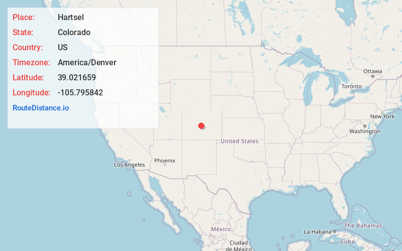
Full AddressHartsel, CO 80449
-
Coordinates39.0216594, -105.7958419
-
LocationHartsel , Colorado , US
-
TimezoneAmerica/Denver
-
Current Local Time2:58:00 PM America/DenverWednesday, May 21, 2025
-
Page Views0
About Hartsel
Hartsel is a census-designated place in and governed by Park County, Colorado United States. The population was 38 at the 2020 census. The Hartsel post office has the ZIP Code 80449. The CDP is a part of the Denver–Aurora–Lakewood, CO Metropolitan Statistical Area.


Nearby Places
Found 10 places within 50 miles

Fairplay
17.9 mi
28.8 km
Fairplay, CO 80440
Get directions

Buena Vista
21.9 mi
35.2 km
Buena Vista, CO 81211
Get directions

Johnson Village
22.2 mi
35.7 km
Johnson Village, CO 81211
Get directions

Alma
23.1 mi
37.2 km
Alma, CO
Get directions

Guffey
23.8 mi
38.3 km
Guffey, CO 80820
Get directions

Nathrop
24.2 mi
38.9 km
Nathrop, CO
Get directions

Florissant
27.7 mi
44.6 km
Florissant, CO 80816
Get directions

Leadville
31.0 mi
49.9 km
Leadville, CO 80461
Get directions

Blue River
31.2 mi
50.2 km
Blue River, CO 80424
Get directions

Rock Creek
31.5 mi
50.7 km
Rock Creek, Bailey, CO 80421
Get directions
Location Links
Local Weather
Weather Information
Coming soon!
Location Map
Static map view of Hartsel, Colorado
Browse Places by Distance
Places within specific distances from Hartsel
Short Distances
Long Distances
Click any distance to see all places within that range from Hartsel. Distances shown in miles (1 mile ≈ 1.61 kilometers).