Distance to Guffey, Colorado

Calculating Your Route
Just a moment while we process your request...
Location Information
-
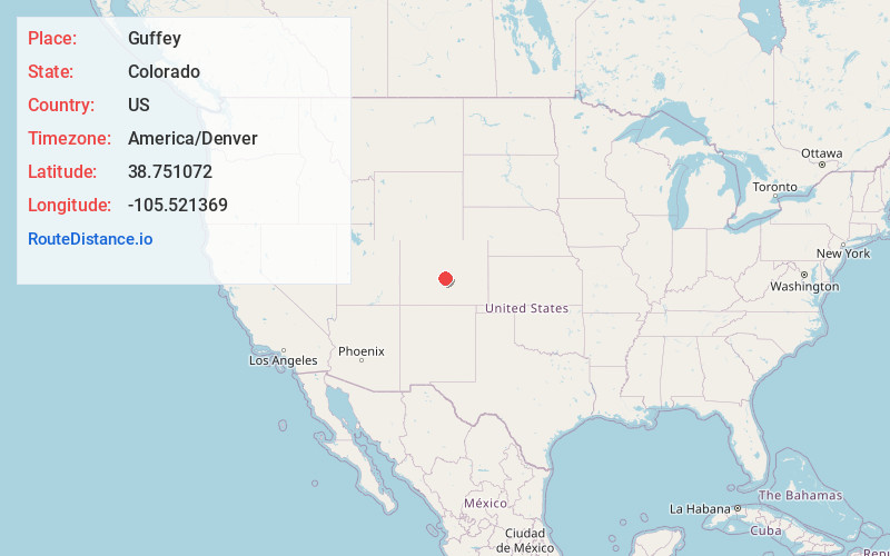
Full AddressGuffey, CO 80820
-
Coordinates38.7510722, -105.521369
-
LocationGuffey , Colorado , US
-
TimezoneAmerica/Denver
-
Current Local Time4:12:38 AM America/DenverThursday, June 26, 2025
-
Page Views0
About Guffey
Guffey is a census-designated place and post office in and governed by Park County, Colorado, United States. The Guffey post office has the ZIP Code 80820. At the United States Census 2020, the population of the Guffey CDP was 111. The CDP is a part of the Denver–Aurora–Lakewood, CO Metropolitan Statistical Area.


Nearby Places
Found 10 places within 50 miles

Florissant
18.4 mi
29.6 km
Florissant, CO 80816
Get directions

Cripple Creek
18.5 mi
29.8 km
Cripple Creek, CO
Get directions

Midland
20.6 mi
33.2 km
Midland, CO 80814
Get directions

Victor
20.8 mi
33.5 km
Victor, CO
Get directions

Goldfield
21.4 mi
34.4 km
Goldfield, CO 80813
Get directions

Divide
23.6 mi
38.0 km
Divide, CO 80814
Get directions
Park Center Lateral
25.1 mi
40.4 km
Park Center Lateral, Colorado 81212
Get directions

Howard
27.2 mi
43.8 km
Howard, CO
Get directions
Brookside
29.2 mi
47.0 km
Brookside, CO 81212
Get directions

Coaldale
29.5 mi
47.5 km
Coaldale, CO
Get directions
Location Links
Local Weather
Weather Information
Coming soon!
Location Map
Static map view of Guffey, Colorado
Browse Places by Distance
Places within specific distances from Guffey
Short Distances
Long Distances
Click any distance to see all places within that range from Guffey. Distances shown in miles (1 mile ≈ 1.61 kilometers).