Distance to Apple Creek, Missouri

Calculating Your Route
Just a moment while we process your request...
Location Information
-
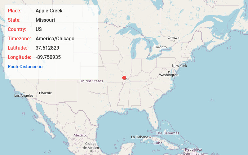
Full AddressApple Creek, MO 63775
-
Coordinates37.6128292, -89.7509351
-
LocationApple Creek , Missouri , US
-
TimezoneAmerica/Chicago
-
Current Local Time10:05:50 AM America/ChicagoTuesday, June 24, 2025
-
Page Views0
About Apple Creek
Apple Creek is an unincorporated community in south central Perry County, Missouri, United States, though not to be confused with the town of Old Appleton which was originally known as Apple Creek. The community is just north of Missouri Route F between I-55 to the west and U.S. Route 61 to the east.


Nearby Places
Found 10 places within 50 miles

Old Appleton
2.3 mi
3.7 km
Old Appleton, MO
Get directions

Longtown
4.1 mi
6.6 km
Longtown, MO 63775
Get directions
Biehle
5.0 mi
8.0 km
Biehle, MO 63775
Get directions
Friedenberg
6.5 mi
10.5 km
Friedenberg, Central Township, MO 63775
Get directions
Daisy
6.6 mi
10.6 km
Daisy, MO 63769
Get directions
Shawneetown
6.9 mi
11.1 km
Shawneetown, MO 63755
Get directions
Frohna
7.3 mi
11.7 km
Frohna, MO 63748
Get directions
Millheim
7.5 mi
12.1 km
Millheim, Cinque Hommes Township, MO 63775
Get directions
Oak Ridge
7.8 mi
12.6 km
Oak Ridge, MO
Get directions
New Wells
8.0 mi
12.9 km
New Wells, MO
Get directions
Location Links
Local Weather
Weather Information
Coming soon!
Location Map
Static map view of Apple Creek, Missouri
Browse Places by Distance
Places within specific distances from Apple Creek
Short Distances
Long Distances
Click any distance to see all places within that range from Apple Creek. Distances shown in miles (1 mile ≈ 1.61 kilometers).