Distance to Daisy, Missouri

Calculating Your Route
Just a moment while we process your request...
Location Information
-
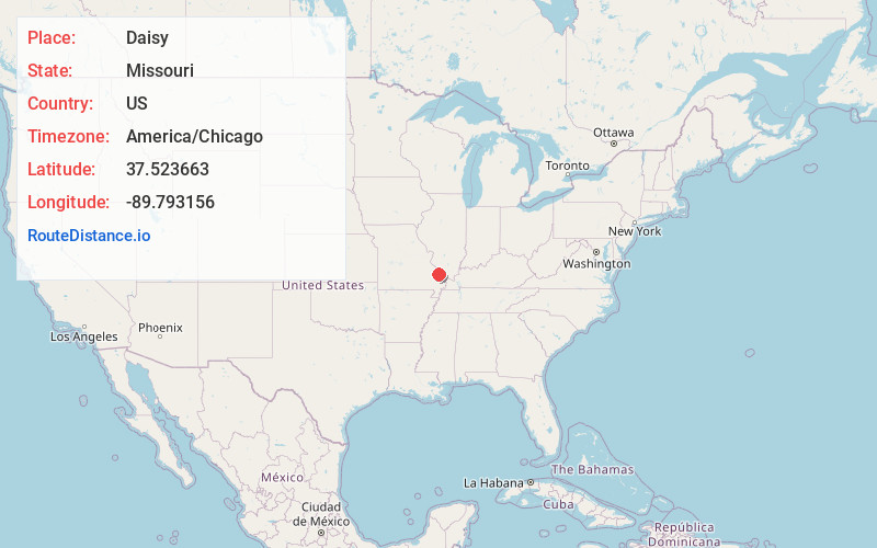
Full AddressDaisy, MO 63769
-
Coordinates37.5236627, -89.793156
-
LocationDaisy , Missouri , US
-
TimezoneAmerica/Chicago
-
Current Local Time2:00:29 PM America/ChicagoSunday, June 29, 2025
-
Page Views0
About Daisy
Daisy is an unincorporated community in northwestern Cape Girardeau County, Missouri, United States. It is located sixteen miles northwest of Cape Girardeau and is part of the Cape Girardeau–Jackson, MO-IL Metropolitan Statistical Area.
A post office called Daisy has been in operation since 1887.
Nearby Places
Found 10 places within 50 miles

Kurreville
3.7 mi
6.0 km
Kurreville, Whitewater Township, MO 63766
Get directions
Oak Ridge
3.8 mi
6.1 km
Oak Ridge, MO
Get directions
Biehle
6.2 mi
10.0 km
Biehle, MO 63775
Get directions
Sedgewickville
6.3 mi
10.1 km
Sedgewickville, MO 63743
Get directions

Millersville
6.3 mi
10.1 km
Millersville, MO
Get directions

Old Appleton
6.7 mi
10.8 km
Old Appleton, MO
Get directions
Reynolds Ford
7.0 mi
11.3 km
Reynolds Ford, MO 63766
Get directions
Shawneetown
8.0 mi
12.9 km
Shawneetown, MO 63755
Get directions
Pocahontas
8.6 mi
13.8 km
Pocahontas, MO 63755
Get directions
New Wells
9.5 mi
15.3 km
New Wells, MO
Get directions
Location Links
Local Weather
Weather Information
Coming soon!
Location Map
Static map view of Daisy, Missouri
Browse Places by Distance
Places within specific distances from Daisy
Short Distances
Long Distances
Click any distance to see all places within that range from Daisy. Distances shown in miles (1 mile ≈ 1.61 kilometers).