Distance to Applegate, Michigan

Calculating Your Route
Just a moment while we process your request...
Location Information
-
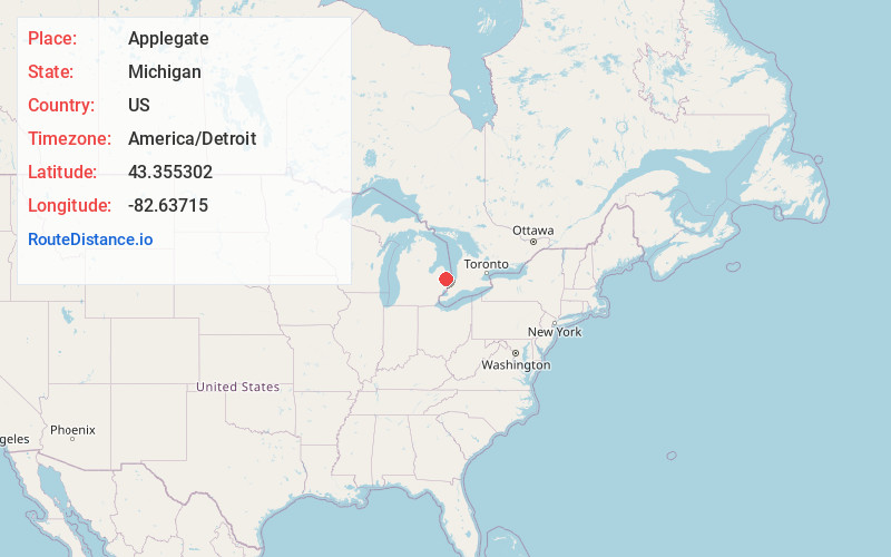
Full AddressApplegate, MI 48401
-
Coordinates43.3553017, -82.6371499
-
LocationApplegate , Michigan , US
-
TimezoneAmerica/Detroit
-
Current Local Time12:10:22 AM America/DetroitThursday, June 19, 2025
-
Page Views0
About Applegate
Applegate is a village in Sanilac County of the U.S. state of Michigan. The population was 241 at the 2020 census. Applegate is in the southeast corner of Washington Township on the boundary with Sanilac Township.


Nearby Places
Found 10 places within 50 miles

Carsonville
5.2 mi
8.4 km
Carsonville, MI 48419
Get directions

Croswell
5.6 mi
9.0 km
Croswell, MI 48422
Get directions

Port Sanilac
7.1 mi
11.4 km
Port Sanilac, MI 48469
Get directions

Lexington
8.1 mi
13.0 km
Lexington, MI 48450
Get directions

Sandusky
10.7 mi
17.2 km
Sandusky, MI 48471
Get directions

Peck
11.3 mi
18.2 km
Peck, MI 48466
Get directions

Deckerville
12.8 mi
20.6 km
Deckerville, MI 48427
Get directions

Yale
17.6 mi
28.3 km
Yale, MI 48097
Get directions

Lakeport
18.2 mi
29.3 km
Lakeport, MI 48059
Get directions

Snover
18.3 mi
29.5 km
Snover, MI 48472
Get directions
Location Links
Local Weather
Weather Information
Coming soon!
Location Map
Static map view of Applegate, Michigan
Browse Places by Distance
Places within specific distances from Applegate
Short Distances
Long Distances
Click any distance to see all places within that range from Applegate. Distances shown in miles (1 mile ≈ 1.61 kilometers).