Distance to Snover, Michigan

Calculating Your Route
Just a moment while we process your request...
Location Information
-
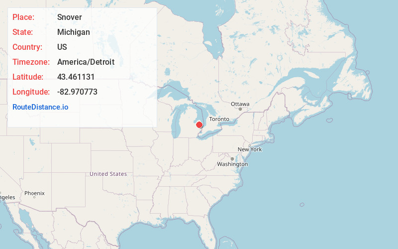
Full AddressSnover, MI 48472
-
Coordinates43.4611311, -82.9707732
-
LocationSnover , Michigan , US
-
TimezoneAmerica/Detroit
-
Current Local Time3:27:33 AM America/DetroitThursday, June 19, 2025
-
Page Views0
About Snover
Snover is an unincorporated community and census-designated place in Moore Township, Sanilac County, Michigan, United States. Its population was 448 as of the 2010 census. Snover has a post office with ZIP code 48472. The community was named for Horace G. Snover, who represented the area in Congress from 1895 to 1898.
Nearby Places
Found 10 places within 50 miles

Sandusky
7.6 mi
12.2 km
Sandusky, MI 48471
Get directions

Marlette
10.8 mi
17.4 km
Marlette, MI 48453
Get directions

Kingston
11.3 mi
18.2 km
Kingston, MI 48741
Get directions

Deckerville
12.6 mi
20.3 km
Deckerville, MI 48427
Get directions

Cass City
14.1 mi
22.7 km
Cass City, MI 48726
Get directions

Carsonville
15.2 mi
24.5 km
Carsonville, MI 48419
Get directions

Peck
16.0 mi
25.7 km
Peck, MI 48466
Get directions

Brown City
17.2 mi
27.7 km
Brown City, MI 48416
Get directions

Ubly
17.3 mi
27.8 km
Ubly, MI 48475
Get directions

Gagetown
19.3 mi
31.1 km
Gagetown, MI
Get directions
Location Links
Local Weather
Weather Information
Coming soon!
Location Map
Static map view of Snover, Michigan
Browse Places by Distance
Places within specific distances from Snover
Short Distances
Long Distances
Click any distance to see all places within that range from Snover. Distances shown in miles (1 mile ≈ 1.61 kilometers).