Distance to Appleton, Alabama

Calculating Your Route
Just a moment while we process your request...
Location Information
-
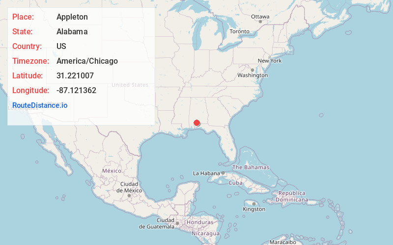
Full AddressAppleton, AL 36426
-
Coordinates31.2210066, -87.1213621
-
LocationAppleton , Alabama , US
-
TimezoneAmerica/Chicago
-
Current Local Time2:45:05 PM America/ChicagoMonday, June 16, 2025
-
Page Views0
Nearby Places
Found 10 places within 50 miles

Janes Mill
4.4 mi
7.1 km
Janes Mill, AL 36432
Get directions
Wallace
5.8 mi
9.3 km
Wallace, AL 36426
Get directions

Castleberry
8.0 mi
12.9 km
Castleberry, AL 36432
Get directions

Brewton
8.5 mi
13.7 km
Brewton, AL 36426
Get directions
Hammac
9.1 mi
14.6 km
Hammac, AL 36426
Get directions
Range
9.3 mi
15.0 km
Range, AL 36475
Get directions
East Brewton
9.5 mi
15.3 km
East Brewton, AL 36426
Get directions
Foshee
9.5 mi
15.3 km
Foshee, AL 36426
Get directions


Leaflet © OpenStreetMap contributors
Location Links
Local Weather
Weather Information
Coming soon!
Location Map
Static map view of Appleton, Alabama
Browse Places by Distance
Places within specific distances from Appleton
Short Distances
Long Distances
Click any distance to see all places within that range from Appleton. Distances shown in miles (1 mile ≈ 1.61 kilometers).