Distance to Aptos Hills-Larkin Valley, California

Calculating Your Route
Just a moment while we process your request...
Location Information
-
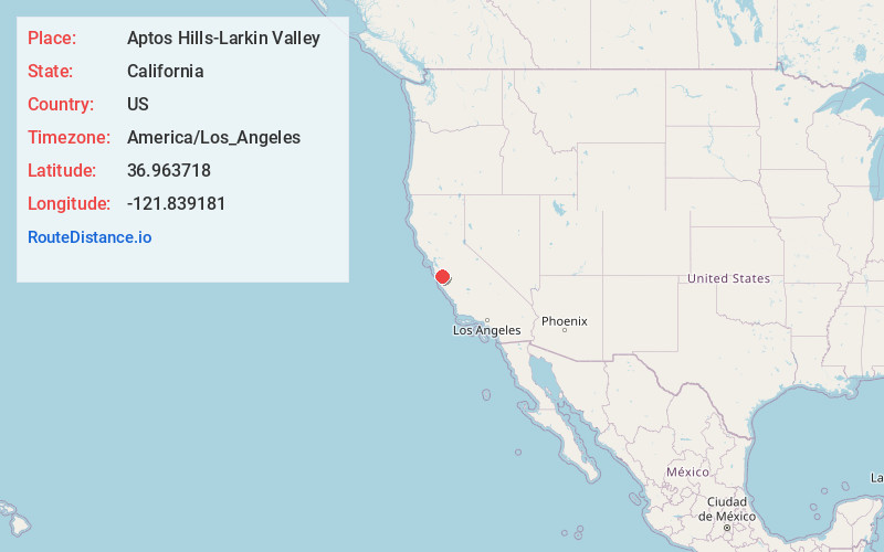
Full AddressAptos Hills-Larkin Valley, CA
-
Coordinates36.9637177, -121.8391808
-
LocationAptos Hills-Larkin Valley , California , US
-
TimezoneAmerica/Los_Angeles
-
Current Local Time5:36:13 PM America/Los_AngelesFriday, June 13, 2025
-
Page Views0
About Aptos Hills-Larkin Valley
Aptos Hills-Larkin Valley is an unincorporated community in Santa Cruz County, California, United States.

Nearby Places
Found 10 places within 50 miles

La Selva Beach
1.9 mi
3.1 km
La Selva Beach, CA 95076
Get directions

Day Valley
2.3 mi
3.7 km
Day Valley, CA
Get directions

Corralitos
2.5 mi
4.0 km
Corralitos, CA
Get directions

Rio Del Mar
2.5 mi
4.0 km
Rio Del Mar, CA
Get directions

Freedom
2.7 mi
4.3 km
Freedom, CA
Get directions
Amesti
3.3 mi
5.3 km
Amesti, CA 95076
Get directions

Aptos
3.5 mi
5.6 km
Aptos, CA 95003
Get directions

Watsonville
5.9 mi
9.5 km
Watsonville, CA
Get directions

Interlaken
5.9 mi
9.5 km
Interlaken, CA 95076
Get directions

Capitola
6.3 mi
10.1 km
Capitola, CA
Get directions
Location Links
Local Weather
Weather Information
Coming soon!
Location Map
Static map view of Aptos Hills-Larkin Valley, California
Browse Places by Distance
Places within specific distances from Aptos Hills-Larkin Valley
Short Distances
Long Distances
Click any distance to see all places within that range from Aptos Hills-Larkin Valley. Distances shown in miles (1 mile ≈ 1.61 kilometers).