Distance to Arapaho and Roosevelt National Forests and Pawnee National Grassland, Colorado

Calculating Your Route
Just a moment while we process your request...
Location Information
-
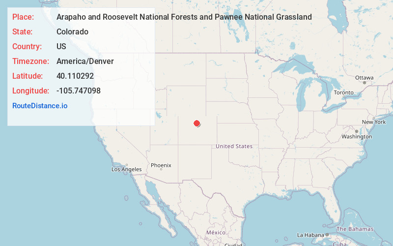
Full AddressArapaho and Roosevelt National Forests and Pawnee National Grassland, Denver, CO 80526
-
Coordinates40.1102921, -105.7470983
-
LocationDenver , Colorado , US
-
TimezoneAmerica/Denver
-
Current Local Time9:05:38 PM America/DenverMonday, June 2, 2025
-
Website
-
Page Views0
About Arapaho and Roosevelt National Forests and Pawnee National Grassland
Protected parkland with multiple designated wilderness areas & the largest natural lake in Colorado.


Nearby Places
Found 10 places within 50 miles

Elkdale
8.6 mi
13.8 km
Elkdale, CO 80446
Get directions

Shadow Mountain Lake
9.5 mi
15.3 km
Shadow Mountain Lake, Colorado 80447
Get directions

Tabernash
9.5 mi
15.3 km
Tabernash, CO 80478
Get directions

Granby
10.3 mi
16.6 km
Granby, CO 80446
Get directions

Grand Lake
10.6 mi
17.1 km
Grand Lake, CO
Get directions

Fraser
12.0 mi
19.3 km
Fraser, CO
Get directions
Maryvale
12.4 mi
20.0 km
Maryvale, Fraser, CO 80482
Get directions

Ward
12.9 mi
20.8 km
Ward, CO
Get directions

Allenspark
13.1 mi
21.1 km
Allenspark, CO
Get directions
Peaceful Valley
13.3 mi
21.4 km
Peaceful Valley, CO 80540
Get directions
Location Links
Local Weather
Weather Information
Coming soon!
Location Map
Static map view of Arapaho and Roosevelt National Forests and Pawnee National Grassland, Colorado
Browse Places by Distance
Places within specific distances from Arapaho and Roosevelt National Forests and Pawnee National Grassland
Short Distances
Long Distances
Click any distance to see all places within that range from Arapaho and Roosevelt National Forests and Pawnee National Grassland. Distances shown in miles (1 mile ≈ 1.61 kilometers).