Distance to Ward, Colorado

Calculating Your Route
Just a moment while we process your request...
Location Information
-
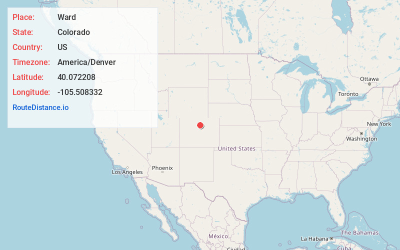
Full AddressWard, CO
-
Coordinates40.0722083, -105.5083316
-
LocationWard , Colorado , US
-
TimezoneAmerica/Denver
-
Current Local Time3:21:23 PM America/DenverWednesday, June 18, 2025
-
Page Views0
About Ward
Ward is a home rule municipality in Boulder County, Colorado, United States. The population was 128 at the 2020 census. The town is a former mining settlement founded in 1860 in the wake of the discovery of gold at nearby Gold Hill.


Nearby Places
Found 10 places within 50 miles

Bark Ranch
4.8 mi
7.7 km
Bark Ranch, CO 80481
Get directions

Gold Hill
5.3 mi
8.5 km
Gold Hill, CO 80302
Get directions
St Ann Highlands
6.5 mi
10.5 km
St Ann Highlands, St. Ann Highlands, CO 80466
Get directions

Sugarloaf
6.6 mi
10.6 km
Sugarloaf, CO 80302
Get directions

Jamestown
7.0 mi
11.3 km
Jamestown, CO
Get directions
Sunshine
7.5 mi
12.1 km
Sunshine, CO 80302
Get directions
Mountain Meadows
7.5 mi
12.1 km
Mountain Meadows, CO 80302
Get directions

Nederland
7.7 mi
12.4 km
Nederland, CO 80466
Get directions
Pine Valley
8.4 mi
13.5 km
Pine Valley, Allenspark, CO 80540
Get directions

Allenspark
8.5 mi
13.7 km
Allenspark, CO
Get directions
Location Links
Local Weather
Weather Information
Coming soon!
Location Map
Static map view of Ward, Colorado
Browse Places by Distance
Places within specific distances from Ward
Short Distances
Long Distances
Click any distance to see all places within that range from Ward. Distances shown in miles (1 mile ≈ 1.61 kilometers).