Distance to Arches National Park, Utah

Calculating Your Route
Just a moment while we process your request...
Location Information
-
Full AddressArches National Park, Utah
-
Coordinates38.7328166, -109.5746222
-
LocationUtah , US
-
TimezoneAmerica/Denver
-
Current Local Time6:44:17 PM America/DenverTuesday, June 17, 2025
-
Website
-
Page Views0
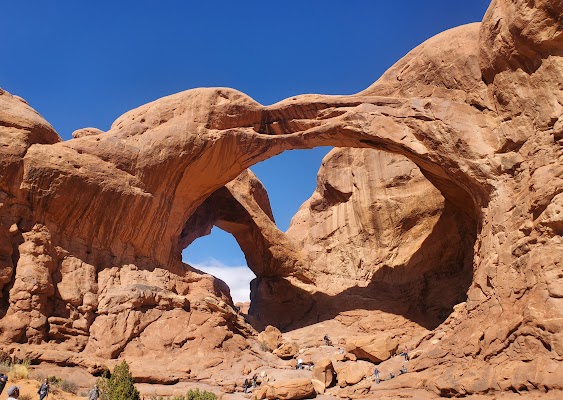
About Arches National Park
Scenic area offering camping & a variety of hiking trails with red rock vistas & 2,000 stone arches.


Nearby Places
Found 10 places within 50 miles

Castle Valley
11.0 mi
17.7 km
Castle Valley, UT 84532
Get directions

Moab
11.1 mi
17.9 km
Moab, UT 84532
Get directions

Elba
15.4 mi
24.8 km
Elba, UT 84540
Get directions
Sagers
16.1 mi
25.9 km
Sagers, UT 84540
Get directions
Vista
16.9 mi
27.2 km
Vista, UT 84540
Get directions

Spanish Valley
17.7 mi
28.5 km
Spanish Valley, UT 84532
Get directions

Thompson Springs
18.1 mi
29.1 km
Thompson Springs, UT 84540
Get directions

Cisco
21.3 mi
34.3 km
Cisco, UT 84540
Get directions

Floy
23.5 mi
37.8 km
Floy, UT
Get directions
Agate
26.4 mi
42.5 km
Agate, UT
Get directions
Location Links
Local Weather
Weather Information
Coming soon!
Location Map
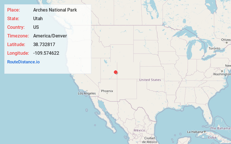
Static map view of Arches National Park, Utah
Browse Places by Distance
Places within specific distances from Arches National Park
Short Distances
Long Distances
Click any distance to see all places within that range from Arches National Park. Distances shown in miles (1 mile ≈ 1.61 kilometers).