Distance to Argyle, Iowa

Calculating Your Route
Just a moment while we process your request...
Location Information
-
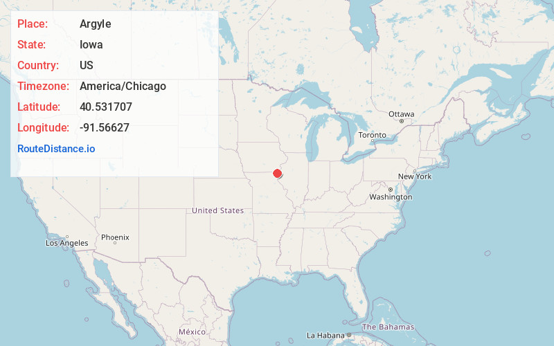
Full AddressArgyle, IA 52619
-
Coordinates40.5317073, -91.5662701
-
LocationArgyle , Iowa , US
-
TimezoneAmerica/Chicago
-
Current Local Time8:10:37 AM America/ChicagoMonday, June 23, 2025
-
Page Views0
About Argyle
Argyle is an unincorporated community in southwestern Lee County, Iowa, United States. As of the 2020 census, its population was 91.
It lies along the concurrent Iowa Highways 27 and 394 southwest of the city of Fort Madison, the county seat of Lee County. Its elevation is 679 feet.
Nearby Places
Found 10 places within 50 miles

St Francisville
5.1 mi
8.2 km
St Francisville, MO 63472
Get directions
Revere
6.4 mi
10.3 km
Revere, MO 63465
Get directions

Donnellson
7.7 mi
12.4 km
Donnellson, IA 52625
Get directions

Montrose
8.0 mi
12.9 km
Montrose, IA 52639
Get directions
Mooar
8.5 mi
13.7 km
Mooar, IA 52632
Get directions

Wayland
9.5 mi
15.3 km
Wayland, MO 63472
Get directions

Nauvoo
9.7 mi
15.6 km
Nauvoo, IL 62354
Get directions
Franklin
9.9 mi
15.9 km
Franklin, IA
Get directions

Sandusky
10.5 mi
16.9 km
Sandusky, IA 52632
Get directions

Kahoka
11.1 mi
17.9 km
Kahoka, MO 63445
Get directions
Location Links
Local Weather
Weather Information
Coming soon!
Location Map
Static map view of Argyle, Iowa
Browse Places by Distance
Places within specific distances from Argyle
Short Distances
Long Distances
Click any distance to see all places within that range from Argyle. Distances shown in miles (1 mile ≈ 1.61 kilometers).