Distance to Arkmo, Arkansas

Calculating Your Route
Just a moment while we process your request...
Location Information
-
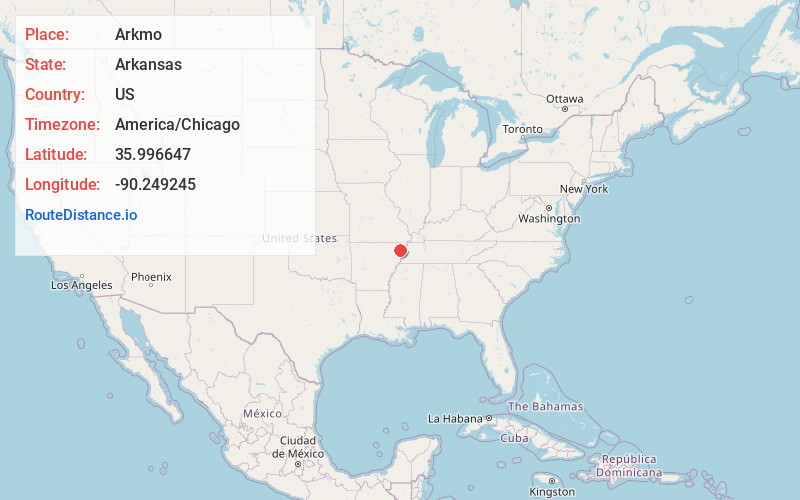
Full AddressArkmo, AR 72438
-
Coordinates35.996647, -90.249245
-
LocationArkmo , Arkansas , US
-
TimezoneAmerica/Chicago
-
Current Local Time5:43:16 PM America/ChicagoFriday, June 20, 2025
-
Page Views0
About Arkmo
Arkmo is an unincorporated community located in both Mississippi County, Arkansas and Dunklin County, Missouri, United States. Arkmo is situated at the junction of Arkansas Highway 77 and Missouri Route 108, 3.5 miles south of Arbyrd; the community primarily lies on the Missouri side of the border.
Nearby Places
Found 10 places within 50 miles

Boynton
1.1 mi
1.8 km
Boynton, AR 72438
Get directions
Paulding
1.4 mi
2.3 km
Paulding, Salem Township, MO 63821
Get directions
Garson
2.0 mi
3.2 km
Garson, AR 72438
Get directions
Pawheen
2.5 mi
4.0 km
Pawheen, AR 72438
Get directions

Arbyrd
3.8 mi
6.1 km
Arbyrd, MO 63821
Get directions

Leachville
4.2 mi
6.8 km
Leachville, AR
Get directions

Cardwell
4.2 mi
6.8 km
Cardwell, MO 63829
Get directions
Clearwater
5.1 mi
8.2 km
Clearwater, Leachville, AR 72438
Get directions
Red Onion
5.2 mi
8.4 km
Red Onion, Buffalo Township, MO 63829
Get directions
Buck Donic
5.2 mi
8.4 km
Buck Donic, Buffalo Township, MO 63829
Get directions
Location Links
Local Weather
Weather Information
Coming soon!
Location Map
Static map view of Arkmo, Arkansas
Browse Places by Distance
Places within specific distances from Arkmo
Short Distances
Long Distances
Click any distance to see all places within that range from Arkmo. Distances shown in miles (1 mile ≈ 1.61 kilometers).