Distance to Arvonia, Virginia

Calculating Your Route
Just a moment while we process your request...
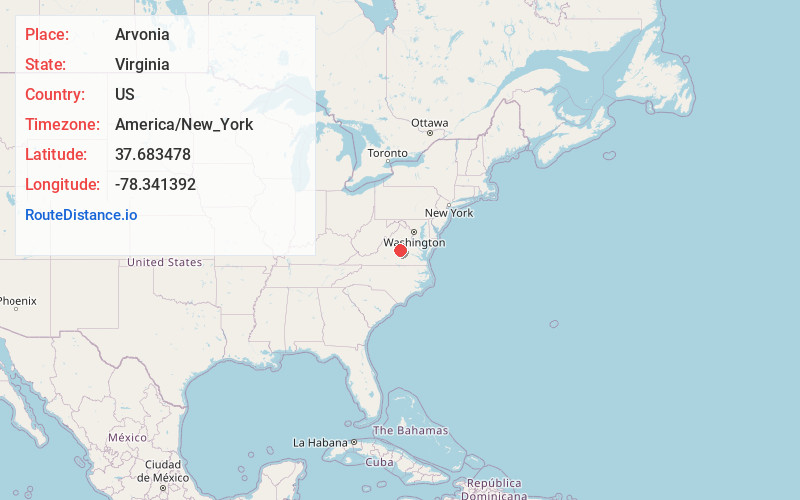
Location Information
-
Full AddressArvonia, VA 23004
-
Coordinates37.683478, -78.3413918
-
LocationArvonia , Virginia , US
-
TimezoneAmerica/New_York
-
Current Local Time8:53:56 AM America/New_YorkSunday, May 25, 2025
-
Page Views0
About Arvonia
Arvonia is an unincorporated community in Buckingham County, Virginia founded mainly by Welsh immigrants during the mid-19th century. The town derives its name from the county of Caernarfon, Wales. The county is known popularly simply as Arfon. "Arvonia" is the Latin form of the name.
Nearby Places
Found 10 places within 50 miles

Lesueur
0.7 mi
1.1 km
Lesueur, VA 23004
Get directions
Penlan
2.0 mi
3.2 km
Penlan, VA 23004
Get directions
New Canton
2.7 mi
4.3 km
New Canton, VA 23123
Get directions
Slate Hill
4.3 mi
6.9 km
Slate Hill, VA 23936
Get directions
Gilliamsville
4.6 mi
7.4 km
Gilliamsville, VA 23123
Get directions
Fork Union
7.0 mi
11.3 km
Fork Union, VA
Get directions
Payne
7.3 mi
11.7 km
Payne, VA 24590
Get directions
Alpha
8.0 mi
12.9 km
Alpha, VA 23936
Get directions
Eldridge Mill
8.3 mi
13.4 km
Eldridge Mill, VA 23936
Get directions
Hatcher
8.7 mi
14.0 km
Hatcher, VA 23936
Get directions
Location Links
Local Weather
Weather Information
Coming soon!
Location Map
Static map view of Arvonia, Virginia
Browse Places by Distance
Places within specific distances from Arvonia
Short Distances
Long Distances
Click any distance to see all places within that range from Arvonia. Distances shown in miles (1 mile ≈ 1.61 kilometers).