Distance to Payne, Virginia

Calculating Your Route
Just a moment while we process your request...
Location Information
-
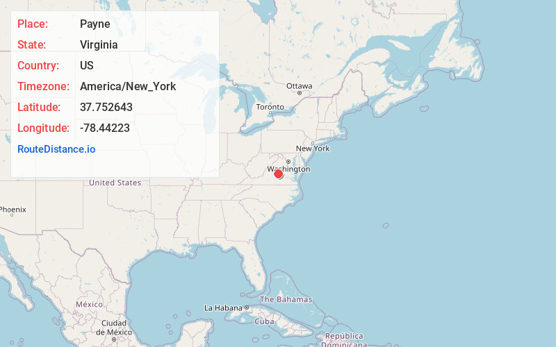
Full AddressPayne, VA 24590
-
Coordinates37.7526433, -78.4422295
-
LocationVirginia , US
-
TimezoneAmerica/New_York
-
Current Local Time11:57:21 AM America/New_YorkThursday, June 19, 2025
-
Page Views1
About Payne
Payne is an unincorporated community in Fluvanna County, in the U.S. state of Virginia.
Nearby Places
Found 10 places within 50 miles

Scottsville
4.3 mi
6.9 km
Scottsville, VA 24590
Get directions

Lesueur
6.8 mi
10.9 km
Lesueur, VA 23004
Get directions
Penlan
7.4 mi
11.9 km
Penlan, VA 23004
Get directions
New Canton
8.5 mi
13.7 km
New Canton, VA 23123
Get directions
Slate Hill
8.9 mi
14.3 km
Slate Hill, VA 23936
Get directions
Fork Union
9.8 mi
15.8 km
Fork Union, VA
Get directions
Eldridge Mill
9.9 mi
15.9 km
Eldridge Mill, VA 23936
Get directions

Esmont
10.5 mi
16.9 km
Esmont, VA 22937
Get directions
Cunningham
10.7 mi
17.2 km
Cunningham, VA 22963
Get directions
Blenheim
10.7 mi
17.2 km
Blenheim, VA 22902
Get directions
Location Links
Local Weather
Weather Information
Coming soon!
Location Map
Static map view of Payne, Virginia
Browse Places by Distance
Places within specific distances from Payne
Short Distances
Long Distances
Click any distance to see all places within that range from Payne. Distances shown in miles (1 mile ≈ 1.61 kilometers).