Distance to Asa, Kentucky

Calculating Your Route
Just a moment while we process your request...
Location Information
-
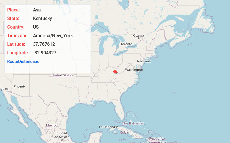
Full AddressAsa, KY 41222
-
Coordinates37.767612, -82.904327
-
LocationAsa , Kentucky , US
-
TimezoneAmerica/New_York
-
Current Local Time6:19:57 PM America/New_YorkSunday, May 25, 2025
-
Page Views0
About Asa
Asa is an unincorporated community in Johnson County, Kentucky, United States. It is located at an elevation of 772 feet. Asa is located in the 41222 ZIP Code Tabulation Area. Weekly happenings in Asa are chronicled in Elaine Brown's Asa Creek News column in The Paintsville Herald.
Nearby Places
Found 10 places within 50 miles

Leander
2.1 mi
3.4 km
Leander, KY 41222
Get directions

Dobson
2.2 mi
3.5 km
Dobson, KY 41222
Get directions
Swamp Branch
2.2 mi
3.5 km
Swamp Branch, KY 41240
Get directions
Riceville
2.5 mi
4.0 km
Riceville, KY 41238
Get directions
Denver
2.8 mi
4.5 km
Denver, KY 41222
Get directions
Oil Springs
3.6 mi
5.8 km
Oil Springs, KY 41256
Get directions
Conley
4.2 mi
6.8 km
Conley, KY 41465
Get directions
Barnetts Creek
4.4 mi
7.1 km
Barnetts Creek, KY 41256
Get directions
Manila
5.2 mi
8.4 km
Manila, KY 41256
Get directions
Staffordsville
5.5 mi
8.9 km
Staffordsville, KY 41256
Get directions
Location Links
Local Weather
Weather Information
Coming soon!
Location Map
Static map view of Asa, Kentucky
Browse Places by Distance
Places within specific distances from Asa
Short Distances
Long Distances
Click any distance to see all places within that range from Asa. Distances shown in miles (1 mile ≈ 1.61 kilometers).