Distance to Dobson, Kentucky

Calculating Your Route
Just a moment while we process your request...
Location Information
-
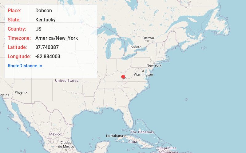
Full AddressDobson, KY 41222
-
Coordinates37.740387, -82.884003
-
LocationDobson , Kentucky , US
-
TimezoneAmerica/New_York
-
Current Local Time2:17:52 PM America/New_YorkTuesday, July 1, 2025
-
Page Views0
Nearby Places
Found 10 places within 50 miles

Swamp Branch
0.7 mi
1.1 km
Swamp Branch, KY 41240
Get directions
Denver
3.0 mi
4.8 km
Denver, KY 41222
Get directions
Barnetts Creek
6.0 mi
9.7 km
Barnetts Creek, KY 41256
Get directions
Dotson
6.6 mi
10.6 km
Dotson, KY 41653
Get directions

Paintsville
6.6 mi
10.6 km
Paintsville, KY
Get directions
Auxier
7.0 mi
11.3 km
Auxier, KY
Get directions

Van Lear
7.2 mi
11.6 km
Van Lear, KY
Get directions
Manila
7.3 mi
11.7 km
Manila, KY 41256
Get directions
Nero
7.6 mi
12.2 km
Nero, KY 41265
Get directions

Prestonsburg
8.0 mi
12.9 km
Prestonsburg, KY
Get directions
Location Links
Local Weather
Weather Information
Coming soon!
Location Map
Static map view of Dobson, Kentucky
Browse Places by Distance
Places within specific distances from Dobson
Short Distances
Long Distances
Click any distance to see all places within that range from Dobson. Distances shown in miles (1 mile ≈ 1.61 kilometers).