Distance to Nero, Kentucky

Calculating Your Route
Just a moment while we process your request...
Location Information
-
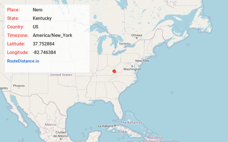
Full AddressNero, KY 41265
-
Coordinates37.752884, -82.746384
-
LocationNero , Kentucky , US
-
TimezoneAmerica/New_York
-
Current Local Time12:16:55 PM America/New_YorkThursday, June 5, 2025
-
Page Views0
About Nero
Nero is an unincorporated community in Johnson County, Kentucky, United States. It is located at an elevation of 628 feet. Nero is located in the ZIP Code Tabulation Area for ZIP code 41265.
Nearby Places
Found 10 places within 50 miles

Auxier
1.4 mi
2.3 km
Auxier, KY
Get directions

Van Lear
1.4 mi
2.3 km
Van Lear, KY
Get directions
Williamsport
4.8 mi
7.7 km
Williamsport, KY 41271
Get directions

Paintsville
5.4 mi
8.7 km
Paintsville, KY
Get directions
Denver
6.1 mi
9.8 km
Denver, KY 41222
Get directions

Prestonsburg
6.2 mi
10.0 km
Prestonsburg, KY
Get directions
Tutor Key
6.4 mi
10.3 km
Tutor Key, KY 41263
Get directions
Swamp Branch
8.2 mi
13.2 km
Swamp Branch, KY 41240
Get directions
Whitehouse
8.7 mi
14.0 km
Whitehouse, KY 41240
Get directions
Barnetts Creek
8.9 mi
14.3 km
Barnetts Creek, KY 41256
Get directions
Location Links
Local Weather
Weather Information
Coming soon!
Location Map
Static map view of Nero, Kentucky
Browse Places by Distance
Places within specific distances from Nero
Short Distances
Long Distances
Click any distance to see all places within that range from Nero. Distances shown in miles (1 mile ≈ 1.61 kilometers).