Distance to Atkinson Mills, Pennsylvania

Calculating Your Route
Just a moment while we process your request...
Location Information
-
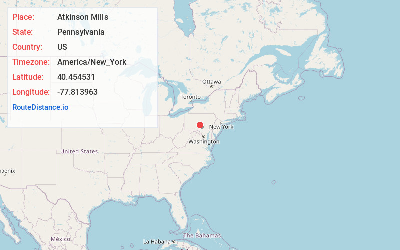
Full AddressAtkinson Mills, PA 17051
-
Coordinates40.4545313, -77.8139628
-
LocationAtkinson Mills , Pennsylvania , US
-
TimezoneAmerica/New_York
-
Current Local Time7:09:00 PM America/New_YorkFriday, June 20, 2025
-
Page Views0
About Atkinson Mills
Atkinson Mills is a census-designated place located in Wayne Township, Mifflin County in the state of Pennsylvania, United States. It is located along U.S. Route 522 in southern Mifflin County, between the boroughs of Mount Union and McVeytown. As of the 2010 census, the population was 174 residents.
Nearby Places
Found 10 places within 50 miles

Newton Hamilton
4.5 mi
7.2 km
Newton Hamilton, PA
Get directions
Mcveytown
4.9 mi
7.9 km
Mcveytown, PA 17051
Get directions
Mattawana
5.3 mi
8.5 km
Mattawana, PA
Get directions
Allensville
5.6 mi
9.0 km
Allensville, PA 17002
Get directions
Kistler
5.9 mi
9.5 km
Kistler, PA 17066
Get directions

Mt Union
6.0 mi
9.7 km
Mt Union, PA 17066
Get directions
Mill Creek
6.3 mi
10.1 km
Mill Creek, PA
Get directions
Mapleton
7.9 mi
12.7 km
Mapleton, PA 17052
Get directions
Menno
8.9 mi
14.3 km
Menno, PA 17004
Get directions
Lack Township
9.8 mi
15.8 km
Lack Township, PA
Get directions
Location Links
Local Weather
Weather Information
Coming soon!
Location Map
Static map view of Atkinson Mills, Pennsylvania
Browse Places by Distance
Places within specific distances from Atkinson Mills
Short Distances
Long Distances
Click any distance to see all places within that range from Atkinson Mills. Distances shown in miles (1 mile ≈ 1.61 kilometers).