Distance to Mcveytown, Pennsylvania

Calculating Your Route
Just a moment while we process your request...
Location Information
-
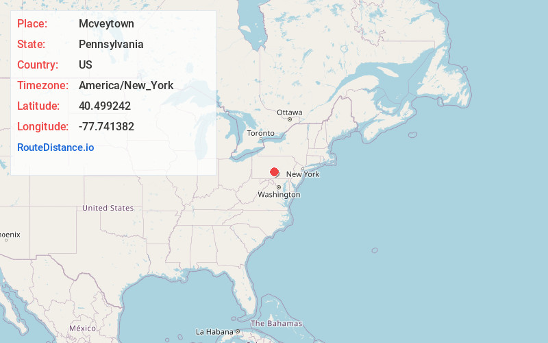
Full AddressMcveytown, PA 17051
-
Coordinates40.4992419, -77.7413818
-
LocationMcveytown , Pennsylvania , US
-
TimezoneAmerica/New_York
-
Current Local Time12:12:43 AM America/New_YorkThursday, June 5, 2025
-
Page Views0
About Mcveytown
McVeytown is a borough in Mifflin County, Pennsylvania, United States, on the west bank of the Juniata River. Formerly known as Waynesburg, it was settled in 1762, laid out in 1795, and incorporated in 1833. The population was 344 at the 2020 census.
Nearby Places
Found 10 places within 50 miles

Mattawana
0.7 mi
1.1 km
Mattawana, PA
Get directions
Allensville
4.7 mi
7.6 km
Allensville, PA 17002
Get directions

Strodes Mills
5.1 mi
8.2 km
Strodes Mills, PA
Get directions
Menno
5.7 mi
9.2 km
Menno, PA 17004
Get directions
Granville
7.2 mi
11.6 km
Granville, PA
Get directions

Belleville
7.4 mi
11.9 km
Belleville, PA 17004
Get directions
Lack Township
10.3 mi
16.6 km
Lack Township, PA
Get directions
Juniata Terrace
10.5 mi
16.9 km
Juniata Terrace, PA 17044
Get directions

Mt Union
10.8 mi
17.4 km
Mt Union, PA 17066
Get directions
Mill Creek
10.9 mi
17.5 km
Mill Creek, PA
Get directions
Location Links
Local Weather
Weather Information
Coming soon!
Location Map
Static map view of Mcveytown, Pennsylvania
Browse Places by Distance
Places within specific distances from Mcveytown
Short Distances
Long Distances
Click any distance to see all places within that range from Mcveytown. Distances shown in miles (1 mile ≈ 1.61 kilometers).