Distance to Aurora, Arkansas

Calculating Your Route
Just a moment while we process your request...
Location Information
-
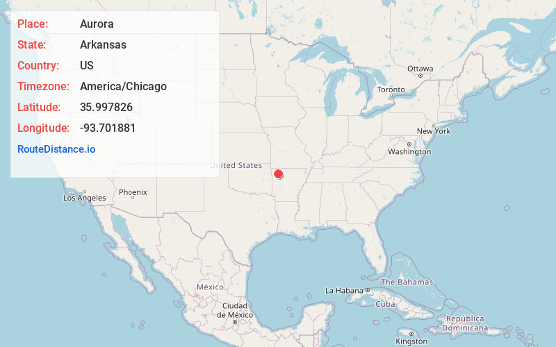
Full AddressAurora, AR 72740
-
Coordinates35.997826, -93.701881
-
LocationAurora , Arkansas , US
-
TimezoneAmerica/Chicago
-
Current Local Time3:19:13 AM America/ChicagoSunday, June 1, 2025
-
Page Views0
About Aurora
Aurora is an unincorporated community in Madison County, Arkansas, United States. It is located south of Huntsville at the junction of AR 127 and AR 23. The community lies on the banks of War Eagle Creek.
The first store at Aurora opened in 1874.
Nearby Places
Found 10 places within 50 miles

Roxton
6.0 mi
9.7 km
Roxton, AR 72773
Get directions

Huntsville
6.5 mi
10.5 km
Huntsville, AR 72740
Get directions
Purdy
9.6 mi
15.4 km
Purdy, AR 72740
Get directions
Hartwell
10.1 mi
16.3 km
Hartwell, AR 72740
Get directions

Kingston
10.9 mi
17.5 km
Kingston, AR
Get directions

Wesley
12.4 mi
20.0 km
Wesley, AR 72773
Get directions
St Paul
12.5 mi
20.1 km
St Paul, AR
Get directions
Dutton
12.5 mi
20.1 km
Dutton, AR 72760
Get directions
Pettigrew
12.8 mi
20.6 km
Pettigrew, AR 72760
Get directions

Hindsville
13.5 mi
21.7 km
Hindsville, AR 72738
Get directions
Location Links
Local Weather
Weather Information
Coming soon!
Location Map
Static map view of Aurora, Arkansas
Browse Places by Distance
Places within specific distances from Aurora
Short Distances
Long Distances
Click any distance to see all places within that range from Aurora. Distances shown in miles (1 mile ≈ 1.61 kilometers).