Distance to Wesley, Arkansas

Calculating Your Route
Just a moment while we process your request...
Location Information
-
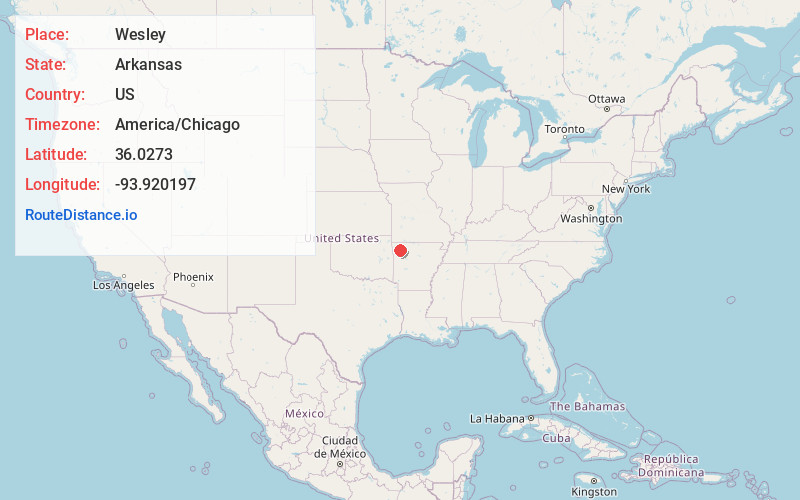
Full AddressWesley, AR 72773
-
Coordinates36.0273004, -93.9201967
-
LocationWesley , Arkansas , US
-
TimezoneAmerica/Chicago
-
Current Local Time10:17:39 AM America/ChicagoMonday, June 2, 2025
-
Page Views0
About Wesley
Wesley is an unincorporated community and census-designated place in western Madison County, Arkansas, United States. Wesley is located at the junction of Arkansas highways 74 and 295, 13 miles by road west-southwest of Huntsville. Wesley has a post office with ZIP code 72773.


Nearby Places
Found 10 places within 50 miles

Elkins
5.3 mi
8.5 km
Elkins, AR
Get directions

Goshen
6.5 mi
10.5 km
Goshen, AR
Get directions

Huntsville
11.1 mi
17.9 km
Huntsville, AR 72740
Get directions

Fayetteville
13.5 mi
21.7 km
Fayetteville, AR
Get directions

Greenland
14.4 mi
23.2 km
Greenland, AR 72701
Get directions

Johnson
15.4 mi
24.8 km
Johnson, AR
Get directions

Springdale
15.9 mi
25.6 km
Springdale, AR
Get directions

West Fork
16.0 mi
25.7 km
West Fork, AR 72774
Get directions

Farmington
18.7 mi
30.1 km
Farmington, AR 72730
Get directions

Tontitown
19.6 mi
31.5 km
Tontitown, AR
Get directions
Location Links
Local Weather
Weather Information
Coming soon!
Location Map
Static map view of Wesley, Arkansas
Browse Places by Distance
Places within specific distances from Wesley
Short Distances
Long Distances
Click any distance to see all places within that range from Wesley. Distances shown in miles (1 mile ≈ 1.61 kilometers).