Distance to Automba, Minnesota

Calculating Your Route
Just a moment while we process your request...
Location Information
-
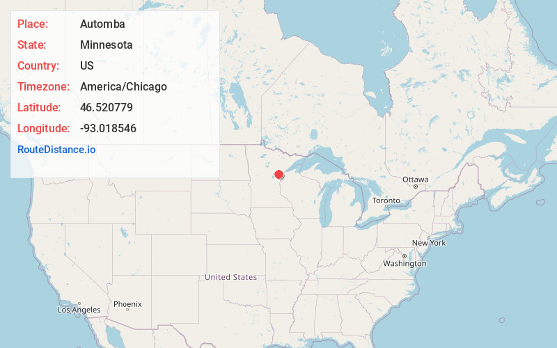
Full AddressAutomba, MN 55757
-
Coordinates46.5207793, -93.0185457
-
LocationAutomba , Minnesota , US
-
TimezoneAmerica/Chicago
-
Current Local Time3:27:30 PM America/ChicagoFriday, June 20, 2025
-
Page Views0
About Automba
Automba is an unincorporated community in Automba Township, Carlton County, Minnesota, United States. The community is near Kettle River along Carlton County Road 6. State Highways 27 and 73 are nearby. Automba is 18 miles west-northwest of Moose Lake.
Nearby Places
Found 10 places within 50 miles

Ronald
5.4 mi
8.7 km
Ronald, MN 55783
Get directions

Kettle River
7.0 mi
11.3 km
Kettle River, MN
Get directions

Tamarack
10.0 mi
16.1 km
Tamarack, MN
Get directions
Wright
10.4 mi
16.7 km
Wright, MN 55798
Get directions
Denham
11.4 mi
18.3 km
Denham, MN
Get directions
Grayling
11.8 mi
19.0 km
Grayling, MN 55760
Get directions
East Lake
12.7 mi
20.4 km
East Lake, MN 55760
Get directions
Cromwell
12.8 mi
20.6 km
Cromwell, MN
Get directions

Moose Lake
12.9 mi
20.8 km
Moose Lake, MN 55767
Get directions

Sturgeon Lake
13.4 mi
21.6 km
Sturgeon Lake, MN 55783
Get directions
Location Links
Local Weather
Weather Information
Coming soon!
Location Map
Static map view of Automba, Minnesota
Browse Places by Distance
Places within specific distances from Automba
Short Distances
Long Distances
Click any distance to see all places within that range from Automba. Distances shown in miles (1 mile ≈ 1.61 kilometers).