Distance to Avery, Missouri

Calculating Your Route
Just a moment while we process your request...
Location Information
-
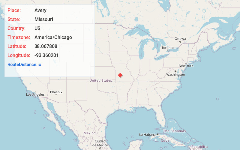
Full AddressAvery, MO 65779
-
Coordinates38.0678077, -93.3602013
-
LocationAvery , Missouri , US
-
TimezoneAmerica/Chicago
-
Current Local Time11:34:39 AM America/ChicagoSaturday, May 24, 2025
-
Page Views0
About Avery
Avery is an unincorporated community that straddles the boundary between Benton County and Hickory County, Missouri, United States. Avery is located on Supplemental Route B, 8.7 miles north-northeast of Wheatland.
Nearby Places
Found 10 places within 50 miles

Bentonville
5.3 mi
8.5 km
Bentonville, Alexander Township, MO 65355
Get directions

Fristoe
5.7 mi
9.2 km
Fristoe, MO 65355
Get directions
Quincy
7.4 mi
11.9 km
Quincy, MO 64776
Get directions
Pom-o-sa Heights
7.7 mi
12.4 km
Pom-o-sa Heights, MO 65355
Get directions
Dell
7.7 mi
12.4 km
Dell, Fristoe Township, MO 65355
Get directions
Cross Timbers
7.8 mi
12.6 km
Cross Timbers, MO 65326
Get directions
Harper
8.6 mi
13.8 km
Harper, Polk Township, MO 64776
Get directions
Wheatland
8.7 mi
14.0 km
Wheatland, MO 65779
Get directions

Hermitage
9.1 mi
14.6 km
Hermitage, MO 65668
Get directions
Wisdom
9.3 mi
15.0 km
Wisdom, MO 65355
Get directions
Location Links
Local Weather
Weather Information
Coming soon!
Location Map
Static map view of Avery, Missouri
Browse Places by Distance
Places within specific distances from Avery
Short Distances
Long Distances
Click any distance to see all places within that range from Avery. Distances shown in miles (1 mile ≈ 1.61 kilometers).