Distance to Dell, Missouri

Calculating Your Route
Just a moment while we process your request...
Location Information
-
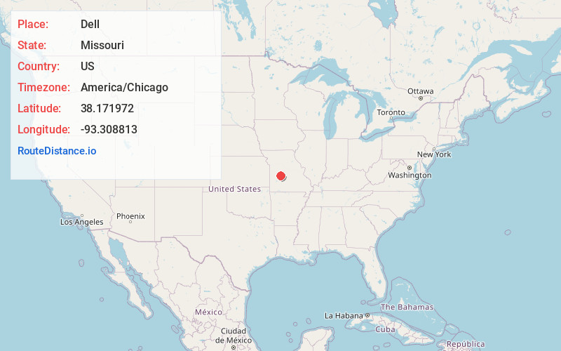
Full AddressDell, Fristoe Township, MO 65355
-
Coordinates38.1719719, -93.3088128
-
LocationFristoe Township , Missouri , US
-
TimezoneAmerica/Chicago
-
Current Local Time3:25:48 AM America/ChicagoSaturday, June 14, 2025
-
Page Views0
About Dell
Dell is an unincorporated community in Benton County, Missouri, United States. Dell is located 6.3 miles southeast of Warsaw.
A variant name was Dell Delight. A post office called Dell Delight was established in 1866, the name was changed to Dell in 1894, and the post office closed in 1911.
Nearby Places
Found 10 places within 50 miles

Fristoe
4.2 mi
6.8 km
Fristoe, MO 65355
Get directions

Pom-o-sa Heights
4.6 mi
7.4 km
Pom-o-sa Heights, MO 65355
Get directions
White Branch
5.0 mi
8.0 km
White Branch, MO 65355
Get directions
Blue Branch
5.1 mi
8.2 km
Blue Branch, White Branch, MO 65355
Get directions
Cold Springs
5.8 mi
9.3 km
Cold Springs, Tom Township, MO 65355
Get directions

Warsaw
6.3 mi
10.1 km
Warsaw, MO 65355
Get directions
Valley View
6.9 mi
11.1 km
Valley View, Tom Township, MO 65355
Get directions
Hastain
7.5 mi
12.1 km
Hastain, MO 65326
Get directions

Edwards
7.9 mi
12.7 km
Edwards, MO 65326
Get directions
Bentonville
9.1 mi
14.6 km
Bentonville, Alexander Township, MO 65355
Get directions
Location Links
Local Weather
Weather Information
Coming soon!
Location Map
Static map view of Dell, Missouri
Browse Places by Distance
Places within specific distances from Dell
Short Distances
Long Distances
Click any distance to see all places within that range from Dell. Distances shown in miles (1 mile ≈ 1.61 kilometers).