Distance to Aydelotte, Oklahoma

Calculating Your Route
Just a moment while we process your request...
Location Information
-
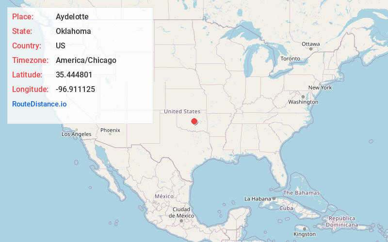
Full AddressAydelotte, OK 74804
-
Coordinates35.444801, -96.911125
-
LocationAydelotte , Oklahoma , US
-
TimezoneAmerica/Chicago
-
Current Local Time10:49:15 PM America/ChicagoFriday, June 20, 2025
-
Page Views0
About Aydelotte
Aydelotte is a community located in Pottawatomie County, Oklahoma, United States. It is north of Shawnee and just south of Meeker along Oklahoma State Highway 18. The town as platted by the Santa Fe Railroad in 1903 was called Hansmeyer, but became Aydelotte for one of the railroad employees, J.M. Aydelotte.
Nearby Places
Found 10 places within 50 miles

Meeker
4.1 mi
6.6 km
Meeker, OK 74855
Get directions

Johnson
4.8 mi
7.7 km
Johnson, OK 74804
Get directions
Jacktown
6.6 mi
10.6 km
Jacktown, OK 74851
Get directions
Clarks Heights
6.9 mi
11.1 km
Clarks Heights, Shawnee, OK 74804
Get directions
Econtuchka
7.4 mi
11.9 km
Econtuchka, OK 74864
Get directions

Shawnee
8.2 mi
13.2 km
Shawnee, OK
Get directions

Dale
8.4 mi
13.5 km
Dale, OK 74851
Get directions
Gaddy
9.2 mi
14.8 km
Gaddy, Bethel Acres, OK 74801
Get directions

McLoud
10.2 mi
16.4 km
McLoud, OK
Get directions
Bethel Acres
11.4 mi
18.3 km
Bethel Acres, OK
Get directions
Location Links
Local Weather
Weather Information
Coming soon!
Location Map
Static map view of Aydelotte, Oklahoma
Browse Places by Distance
Places within specific distances from Aydelotte
Short Distances
Long Distances
Click any distance to see all places within that range from Aydelotte. Distances shown in miles (1 mile ≈ 1.61 kilometers).