Distance to Dale, Oklahoma

Calculating Your Route
Just a moment while we process your request...
Location Information
-
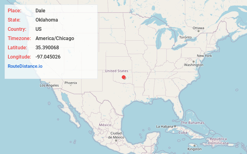
Full AddressDale, OK 74851
-
Coordinates35.3900678, -97.0450257
-
LocationDale , Oklahoma , US
-
TimezoneAmerica/Chicago
-
Current Local Time4:49:35 AM America/ChicagoSaturday, May 31, 2025
-
Page Views0
About Dale
Dale is an unincorporated community and census-designated place located on State Highway 270 in Pottawatomie County, Oklahoma, United States. It lies in the North Canadian River bottom, a few miles northwest of Shawnee.

Nearby Places
Found 10 places within 50 miles

McLoud
4.1 mi
6.6 km
McLoud, OK
Get directions

Bethel Acres
5.7 mi
9.2 km
Bethel Acres, OK
Get directions

Shawnee
8.0 mi
12.9 km
Shawnee, OK
Get directions

Harrah
9.6 mi
15.4 km
Harrah, OK
Get directions

Pink
9.9 mi
15.9 km
Pink, OK
Get directions

Tecumseh
11.0 mi
17.7 km
Tecumseh, OK
Get directions

Meeker
11.2 mi
18.0 km
Meeker, OK 74855
Get directions
Johnson
11.5 mi
18.5 km
Johnson, OK 74804
Get directions

Choctaw
14.6 mi
23.5 km
Choctaw, OK 73020
Get directions

Earlsboro
16.0 mi
25.7 km
Earlsboro, OK
Get directions
Location Links
Local Weather
Weather Information
Coming soon!
Location Map
Static map view of Dale, Oklahoma
Browse Places by Distance
Places within specific distances from Dale
Short Distances
Long Distances
Click any distance to see all places within that range from Dale. Distances shown in miles (1 mile ≈ 1.61 kilometers).