Distance to Aydlett, North Carolina

Calculating Your Route
Just a moment while we process your request...
Location Information
-
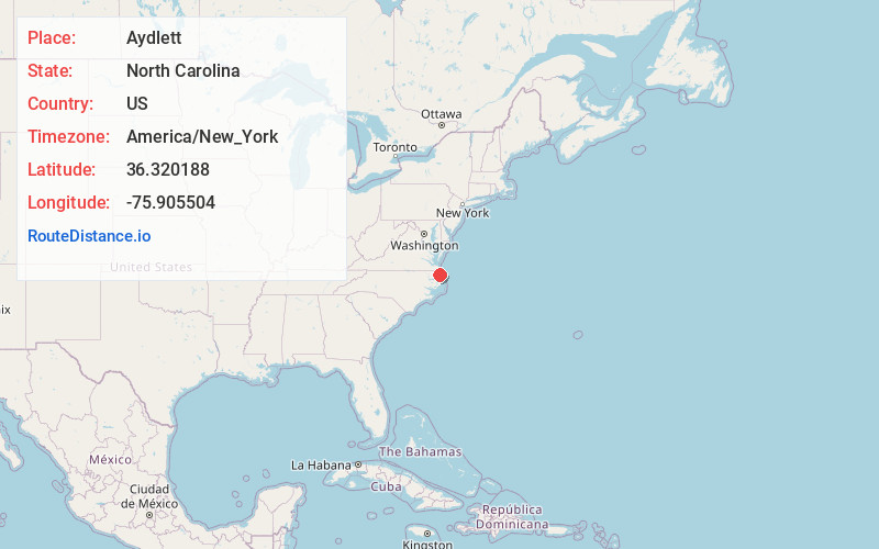
Full AddressAydlett, NC 27916
-
Coordinates36.3201875, -75.9055035
-
LocationAydlett , North Carolina , US
-
TimezoneAmerica/New_York
-
Current Local Time5:13:01 PM America/New_YorkTuesday, June 17, 2025
-
Page Views0
About Aydlett
Aydlett is an unincorporated community in Currituck County, North Carolina, United States. The community is located on the western shore of Currituck Sound, 10.3 miles south-southeast of Currituck. Aydlett has a post office with ZIP code 27916, which opened on August 10, 1900.


Nearby Places
Found 10 places within 50 miles

Poplar Branch
2.8 mi
4.5 km
Poplar Branch, NC
Get directions

Coinjock
3.0 mi
4.8 km
Coinjock, NC
Get directions
Bertha
3.3 mi
5.3 km
Bertha, NC 27965
Get directions

Grandy
5.6 mi
9.0 km
Grandy, NC
Get directions
Riddle
8.0 mi
12.9 km
Riddle, NC 27973
Get directions
Maple
8.4 mi
13.5 km
Maple, NC
Get directions
Olds
10.3 mi
16.6 km
Olds, NC 27947
Get directions

Shiloh
10.5 mi
16.9 km
Shiloh, NC 27974
Get directions

Currituck
10.6 mi
17.1 km
Currituck, NC
Get directions

Powells Point
11.5 mi
18.5 km
Powells Point, NC 27966
Get directions
Location Links
Local Weather
Weather Information
Coming soon!
Location Map
Static map view of Aydlett, North Carolina
Browse Places by Distance
Places within specific distances from Aydlett
Short Distances
Long Distances
Click any distance to see all places within that range from Aydlett. Distances shown in miles (1 mile ≈ 1.61 kilometers).