Distance to and from Azalia, Michigan
Azalia, MI
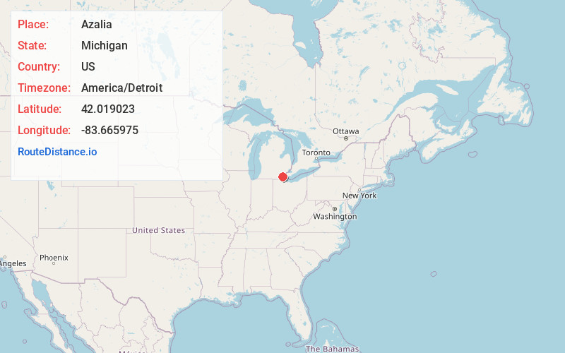
Azalia
Michigan
US
America/Detroit
Location Information
-
Full AddressAzalia, MI
-
Coordinates42.019023, -83.6659749
-
LocationAzalia , Michigan , US
-
TimezoneAmerica/Detroit
-
Current Local Time10:33:05 PM America/DetroitMonday, May 5, 2025
-
Page Views0
Directions to Nearest Cities
About Azalia
Azalia is an unincorporated community in Monroe County in the U.S. state of Michigan. The community is located within Milan Township. As an unincorporated community, Azalia has no legally defined boundaries or population statistics of its own but does have its own post office with the 48110 ZIP Code.

Nearby Places
Found 10 places within 50 miles

Dundee
4.3 mi
6.9 km
Dundee, MI 48131
Get directions

Milan
4.7 mi
7.6 km
Milan, MI 48160
Get directions

Oakville
6.1 mi
9.8 km
Oakville, MI 48191
Get directions

River Raisin
6.8 mi
10.9 km
River Raisin, Michigan
Get directions
Grape
7.5 mi
12.1 km
Grape, Raisinville Township, MI 48162
Get directions

Maybee
7.8 mi
12.6 km
Maybee, MI
Get directions

Petersburg
8.5 mi
13.7 km
Petersburg, MI
Get directions

Britton
8.8 mi
14.2 km
Britton, MI 49229
Get directions
Scofield
9.5 mi
15.3 km
Scofield, Exeter Township, MI 48159
Get directions

Deerfield
10.7 mi
17.2 km
Deerfield, MI 49238
Get directions
Dundee
4.3 mi
6.9 km
Dundee, MI 48131
Milan
4.7 mi
7.6 km
Milan, MI 48160
Oakville
6.1 mi
9.8 km
Oakville, MI 48191
River Raisin
6.8 mi
10.9 km
River Raisin, Michigan
Grape
7.5 mi
12.1 km
Grape, Raisinville Township, MI 48162
Maybee
7.8 mi
12.6 km
Maybee, MI
Petersburg
8.5 mi
13.7 km
Petersburg, MI
Britton
8.8 mi
14.2 km
Britton, MI 49229
Scofield
9.5 mi
15.3 km
Scofield, Exeter Township, MI 48159
Deerfield
10.7 mi
17.2 km
Deerfield, MI 49238
Location Links
Local Weather
Weather Information
Coming soon!
Location Map
Static map view of Azalia, Michigan
Browse Places by Distance
Places within specific distances from Azalia
Short Distances
Long Distances
Click any distance to see all places within that range from Azalia. Distances shown in miles (1 mile ≈ 1.61 kilometers).