Distance to Azwell, Washington

Calculating Your Route
Just a moment while we process your request...
Location Information
-
Full AddressAzwell, WA 98816
-
Coordinates47.937222, -119.8752779
-
LocationAzwell , Washington , US
-
TimezoneAmerica/Los_Angeles
-
Current Local Time8:02:32 AM America/Los_AngelesSaturday, June 7, 2025
-
Page Views0
About Azwell
Azwell is a small unincorporated community in Okanogan County, Washington, United States.


Nearby Places
Found 10 places within 50 miles

Beebe
7.6 mi
12.2 km
Beebe, WA 98843
Get directions

Pateros
8.0 mi
12.9 km
Pateros, WA
Get directions

Chelan
9.3 mi
15.0 km
Chelan, WA 98816
Get directions

Bridgeport
10.6 mi
17.1 km
Bridgeport, WA 98813
Get directions

Chelan Falls
10.8 mi
17.4 km
Chelan Falls, WA
Get directions

Downing
11.1 mi
17.9 km
Downing, WA 98812
Get directions

Brewster
11.8 mi
19.0 km
Brewster, WA 98812
Get directions

Rocky Butte
11.8 mi
19.0 km
Rocky Butte, WA 98812
Get directions

Manson
13.5 mi
21.7 km
Manson, WA 98831
Get directions

Mansfield
14.1 mi
22.7 km
Mansfield, WA 98830
Get directions
Location Links
Local Weather
Weather Information
Coming soon!
Location Map
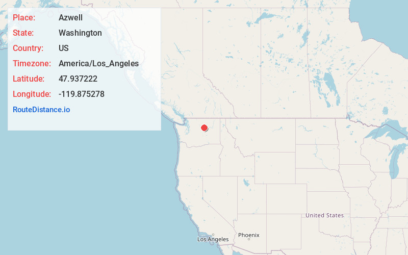
Static map view of Azwell, Washington
Browse Places by Distance
Places within specific distances from Azwell
Short Distances
Long Distances
Click any distance to see all places within that range from Azwell. Distances shown in miles (1 mile ≈ 1.61 kilometers).