Distance to Babbs, Oklahoma

Calculating Your Route
Just a moment while we process your request...
Location Information
-
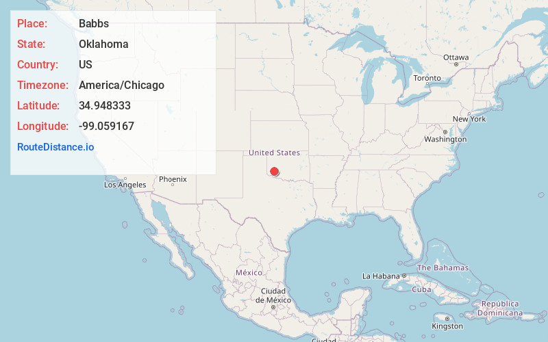
Full AddressBabbs, OK 73651
-
Coordinates34.948333, -99.059167
-
LocationBabbs , Oklahoma , US
-
TimezoneAmerica/Chicago
-
Current Local Time1:14:03 PM America/ChicagoWednesday, June 18, 2025
-
Page Views0
About Babbs
Babbs is a community in Kiowa County, Oklahoma, United States. It was named for Edith "Babbs" Babcock. Babbs is 6 miles south-southeast of Hobart, and is at an elevation of 1,535 feet.
Babbs was the scene of the Babbs Switch Fire on December 24, 1924, in which 36 people died in a school fire.
Nearby Places
Found 10 places within 50 miles

Hobart
5.9 mi
9.5 km
Hobart, OK 73651
Get directions

Roosevelt
7.2 mi
11.6 km
Roosevelt, OK 73564
Get directions

Lone Wolf
11.1 mi
17.9 km
Lone Wolf, OK 73655
Get directions

Cooperton
12.2 mi
19.6 km
Cooperton, OK 73564
Get directions

Gotebo
13.5 mi
21.7 km
Gotebo, OK 73041
Get directions

Rocky
14.4 mi
23.2 km
Rocky, OK 73661
Get directions

Sentinel
15.9 mi
25.6 km
Sentinel, OK 73664
Get directions

Granite
18.2 mi
29.3 km
Granite, OK 73547
Get directions
Mountain Park
18.4 mi
29.6 km
Mountain Park, OK 73559
Get directions
Lake Valley
18.8 mi
30.3 km
Lake Valley, OK 73041
Get directions
Location Links
Local Weather
Weather Information
Coming soon!
Location Map
Static map view of Babbs, Oklahoma
Browse Places by Distance
Places within specific distances from Babbs
Short Distances
Long Distances
Click any distance to see all places within that range from Babbs. Distances shown in miles (1 mile ≈ 1.61 kilometers).