Distance to Rocky, Oklahoma

Calculating Your Route
Just a moment while we process your request...
Location Information
-
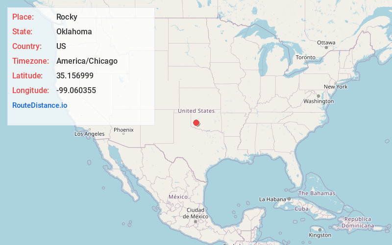
Full AddressRocky, OK 73661
-
Coordinates35.1569986, -99.0603546
-
LocationRocky , Oklahoma , US
-
TimezoneAmerica/Chicago
-
Current Local Time8:09:45 AM America/ChicagoFriday, June 20, 2025
-
Page Views0
About Rocky
Rocky is a town in Washita County, Oklahoma, United States. The population was 162 at the 2010 United States Census, a 6.9 percent decline from the figure of 174 in 2000. The town lies along U.S. Route 183.


Nearby Places
Found 10 places within 50 miles

Sentinel
6.5 mi
10.5 km
Sentinel, OK 73664
Get directions

Hobart
9.0 mi
14.5 km
Hobart, OK 73651
Get directions

Dill City
9.3 mi
15.0 km
Dill City, OK 73641
Get directions

New Cordell
10.1 mi
16.3 km
New Cordell, OK 73632
Get directions

Gotebo
12.2 mi
19.6 km
Gotebo, OK 73041
Get directions

Burns Flat
14.6 mi
23.5 km
Burns Flat, OK 73647
Get directions

Lone Wolf
15.8 mi
25.4 km
Lone Wolf, OK 73655
Get directions

Mountain View
18.2 mi
29.3 km
Mountain View, OK 73062
Get directions

Corn
21.9 mi
35.2 km
Corn, OK 73024
Get directions

Canute
22.1 mi
35.6 km
Canute, OK 73626
Get directions
Location Links
Local Weather
Weather Information
Coming soon!
Location Map
Static map view of Rocky, Oklahoma
Browse Places by Distance
Places within specific distances from Rocky
Short Distances
Long Distances
Click any distance to see all places within that range from Rocky. Distances shown in miles (1 mile ≈ 1.61 kilometers).