Distance to Bagdad, Kentucky

Calculating Your Route
Just a moment while we process your request...
Location Information
-
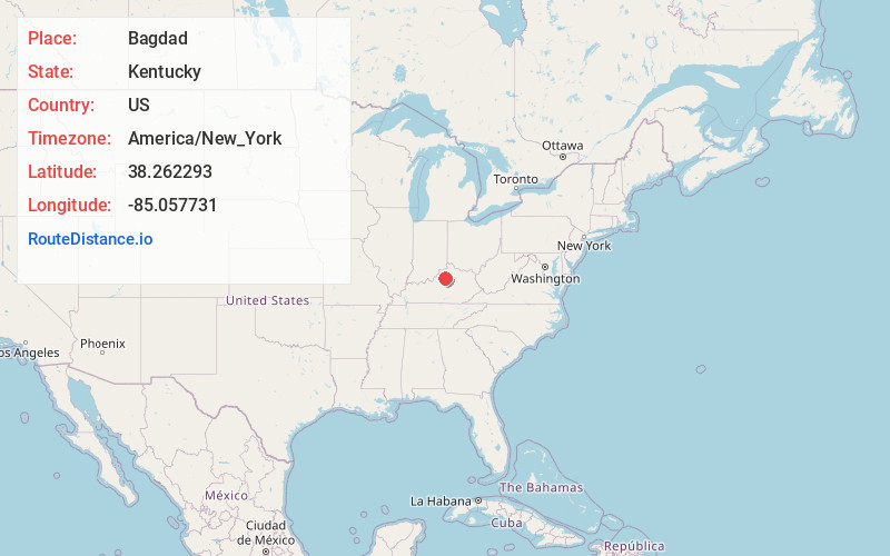
Full AddressBagdad, KY 40003
-
Coordinates38.2622928, -85.0577313
-
LocationBagdad , Kentucky , US
-
TimezoneAmerica/New_York
-
Current Local Time3:31:42 PM America/New_YorkTuesday, May 27, 2025
-
Page Views0
About Bagdad
Bagdad is an unincorporated community in northeastern Shelby County, Kentucky, United States. It was founded at what is currently the intersection of Kentucky Routes 12 and 395. The ZIP Code for Bagdad is 40003.

Nearby Places
Found 10 places within 50 miles

Pleasureville
6.6 mi
10.6 km
Pleasureville, KY 40057
Get directions

Flag Fork
7.2 mi
11.6 km
Flag Fork, KY 40601
Get directions
Hemp Ridge
8.5 mi
13.7 km
Hemp Ridge, KY 40076
Get directions
Bridgeport
9.2 mi
14.8 km
Bridgeport, KY 40601
Get directions

Shelbyville
9.4 mi
15.1 km
Shelbyville, KY 40065
Get directions

Eminence
10.0 mi
16.1 km
Eminence, KY 40019
Get directions

Frankfort
10.8 mi
17.4 km
Frankfort, KY 40601
Get directions
Junte
12.7 mi
20.4 km
Junte, KY 40076
Get directions
Joyes
13.2 mi
21.2 km
Joyes, KY 40065
Get directions

New Castle
13.3 mi
21.4 km
New Castle, KY
Get directions
Location Links
Local Weather
Weather Information
Coming soon!
Location Map
Static map view of Bagdad, Kentucky
Browse Places by Distance
Places within specific distances from Bagdad
Short Distances
Long Distances
Click any distance to see all places within that range from Bagdad. Distances shown in miles (1 mile ≈ 1.61 kilometers).