Distance to Bailey Camp, North Carolina

Calculating Your Route
Just a moment while we process your request...
Location Information
-
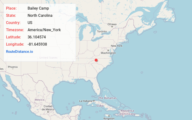
Full AddressBailey Camp, NC 28645
-
Coordinates36.1045738, -81.6459375
-
LocationNorth Carolina , US
-
TimezoneAmerica/New_York
-
Current Local Time3:53:57 AM America/New_YorkWednesday, June 18, 2025
-
Page Views0
Nearby Places
Found 10 places within 50 miles

Blowing Rock
2.8 mi
4.5 km
Blowing Rock, NC
Get directions

Foscoe
7.8 mi
12.6 km
Foscoe, NC
Get directions

Boone
8.1 mi
13.0 km
Boone, NC
Get directions

Happy Valley
9.4 mi
15.1 km
Happy Valley, NC 28645
Get directions

Valle Crucis
10.3 mi
16.6 km
Valle Crucis, NC
Get directions

Seven Devils
10.4 mi
16.7 km
Seven Devils, NC 28604
Get directions
Mt Zion
11.7 mi
18.8 km
Mt Zion, NC 28624
Get directions
Soda Hill
11.9 mi
19.2 km
Soda Hill, NC 28607
Get directions

Sugar Mountain
12.1 mi
19.5 km
Sugar Mountain, NC
Get directions

Linville
12.7 mi
20.4 km
Linville, NC
Get directions
Location Links
Local Weather
Weather Information
Coming soon!
Location Map
Static map view of Bailey Camp, North Carolina
Browse Places by Distance
Places within specific distances from Bailey Camp
Short Distances
Long Distances
Click any distance to see all places within that range from Bailey Camp. Distances shown in miles (1 mile ≈ 1.61 kilometers).