Distance to Bainbridge Island, Washington

Calculating Your Route
Just a moment while we process your request...
Location Information
-
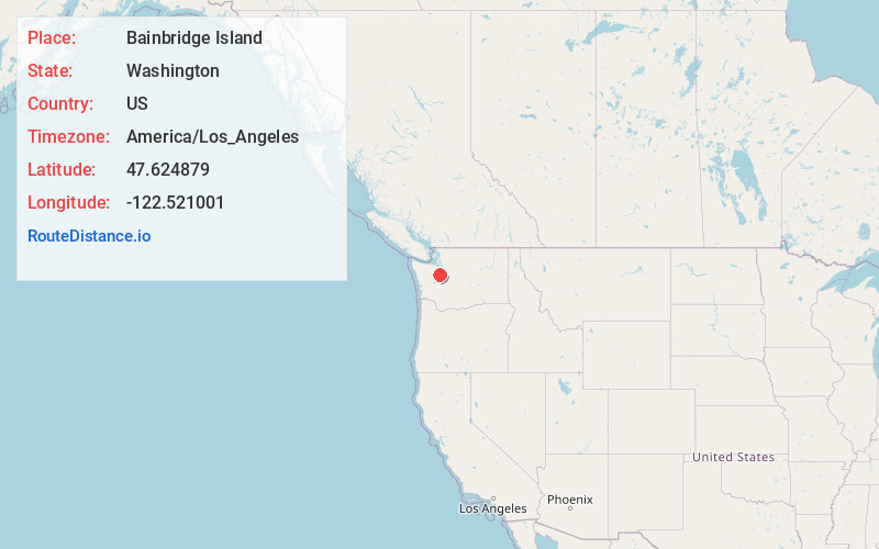
Full AddressBainbridge Island, WA
-
Coordinates47.6248791, -122.5210007
-
LocationBainbridge Island , Washington , US
-
TimezoneAmerica/Los_Angeles
-
Current Local Time2:45:58 AM America/Los_AngelesMonday, June 23, 2025
-
Page Views0
About Bainbridge Island
Bainbridge Island is a small city in western Washington state. It’s connected to Seattle by ferry. The forested Bloedel Reserve has landscaped gardens and trails. Nearby, coastal Fay Bainbridge Park and Campground features an east-facing beach with views of the Cascade Mountains and Puget Sound. Bainbridge Island Museum of Art, in an eco-friendly building, offers rotating exhibitions by contemporary local artists.


Nearby Places
Found 10 places within 50 miles

Wautauga Beach
3.0 mi
4.8 km
Wautauga Beach, WA 98366
Get directions

Waterman Point
3.6 mi
5.8 km
Waterman Point, WA 98366
Get directions

Illahee
3.6 mi
5.8 km
Illahee, WA 98311
Get directions

Gilberton
4.0 mi
6.4 km
Gilberton, WA 98311
Get directions
Kariotis
4.0 mi
6.4 km
Kariotis, WA 98311
Get directions

Manzanita Bay
4.1 mi
6.6 km
Manzanita Bay, Bainbridge Island, WA 98110
Get directions
Trikkala
4.2 mi
6.8 km
Trikkala, WA 98311
Get directions
Waterman
4.5 mi
7.2 km
Waterman, WA 98366
Get directions

Enetai
4.6 mi
7.4 km
Enetai, WA 98310
Get directions

Manchester
4.9 mi
7.9 km
Manchester, WA
Get directions
Location Links
Local Weather
Weather Information
Coming soon!
Location Map
Static map view of Bainbridge Island, Washington
Browse Places by Distance
Places within specific distances from Bainbridge Island
Short Distances
Long Distances
Click any distance to see all places within that range from Bainbridge Island. Distances shown in miles (1 mile ≈ 1.61 kilometers).