Distance to and from Bakerton, Kentucky
Bakerton, KY 42717
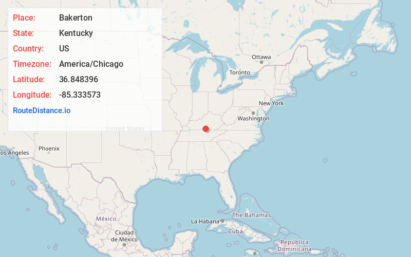
Bakerton
Kentucky
US
America/Chicago
Location Information
-
Full AddressBakerton, KY 42717
-
Coordinates36.8483957, -85.3335732
-
LocationBakerton , Kentucky , US
-
TimezoneAmerica/Chicago
-
Current Local Time10:04:56 PM America/ChicagoSunday, May 4, 2025
-
Page Views0
Directions to Nearest Cities
About Bakerton
Bakerton is an unincorporated community in Cumberland County, Kentucky, United States. It lies near Route 704 northeast of the city of Burkesville, the county seat of Cumberland County. Its elevation is 600 feet.
Nearby Places
Found 10 places within 50 miles

Burkesville
4.5 mi
7.2 km
Burkesville, KY 42717
Get directions

Desda
7.5 mi
12.1 km
Desda, KY 42602
Get directions
Chance
8.7 mi
14.0 km
Chance, KY 42728
Get directions
Marrowbone
9.7 mi
15.6 km
Marrowbone, KY 42717
Get directions
Hegira
10.3 mi
16.6 km
Hegira, KY 42717
Get directions
Helm
10.5 mi
16.9 km
Helm, KY 42629
Get directions
Old Olga
10.6 mi
17.1 km
Old Olga, KY 42629
Get directions
Long Bottom
11.5 mi
18.5 km
Long Bottom, KY 42629
Get directions
Cofer
11.6 mi
18.7 km
Cofer, KY 42129
Get directions
Littrell
11.8 mi
19.0 km
Littrell, KY 42717
Get directions
Burkesville
4.5 mi
7.2 km
Burkesville, KY 42717
Desda
7.5 mi
12.1 km
Desda, KY 42602
Chance
8.7 mi
14.0 km
Chance, KY 42728
Marrowbone
9.7 mi
15.6 km
Marrowbone, KY 42717
Hegira
10.3 mi
16.6 km
Hegira, KY 42717
Helm
10.5 mi
16.9 km
Helm, KY 42629
Old Olga
10.6 mi
17.1 km
Old Olga, KY 42629
Long Bottom
11.5 mi
18.5 km
Long Bottom, KY 42629
Cofer
11.6 mi
18.7 km
Cofer, KY 42129
Littrell
11.8 mi
19.0 km
Littrell, KY 42717
Location Links
Local Weather
Weather Information
Coming soon!
Location Map
Static map view of Bakerton, Kentucky
Browse Places by Distance
Places within specific distances from Bakerton
Short Distances
Long Distances
Click any distance to see all places within that range from Bakerton. Distances shown in miles (1 mile ≈ 1.61 kilometers).