Distance to Balance Rock, California

Calculating Your Route
Just a moment while we process your request...
Location Information
-
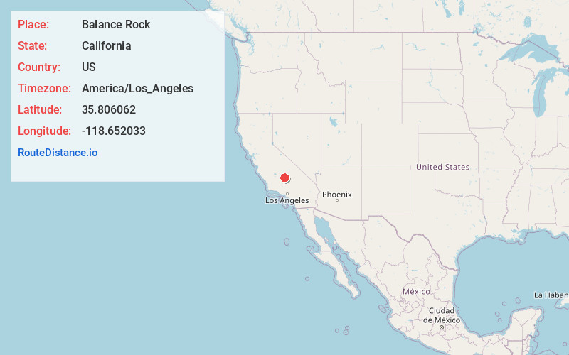
Full AddressBalance Rock, CA 93260
-
Coordinates35.8060623, -118.6520326
-
LocationBalance Rock , California , US
-
TimezoneAmerica/Los_Angeles
-
Current Local Time11:50:11 AM America/Los_AngelesWednesday, May 28, 2025
-
Page Views0
About Balance Rock
Balance Rock is an unincorporated community in Tulare County, California, United States. Balance Rock is 1.5 miles east of Posey. The community was named after Balance Rock, a geographic feature in the area, by a Mrs. Shively in 1900. Balance Rock once had a post office, which operated from 1935 to 1950.


Nearby Places
Found 10 places within 50 miles

Pleasant View
0.6 mi
1.0 km
Pleasant View, CA 93260
Get directions
Poso Park
0.8 mi
1.3 km
Poso Park, CA 93260
Get directions
McClenney Tract
1.0 mi
1.6 km
McClenney Tract, CA 93260
Get directions

Idlewild
1.2 mi
1.9 km
Idlewild, CA 93260
Get directions

Panorama Heights
1.3 mi
2.1 km
Panorama Heights, CA 93260
Get directions

Sugarloaf Village
1.7 mi
2.7 km
Sugarloaf Village, CA 93260
Get directions

Posey
1.8 mi
2.9 km
Posey, CA 93260
Get directions
Sugarloaf Saw Mill
2.8 mi
4.5 km
Sugarloaf Saw Mill, CA 93260
Get directions
Spear Creek Summer Home Tract
3.4 mi
5.5 km
Spear Creek Summer Home Tract, CA 93260
Get directions

California Hot Springs
5.6 mi
9.0 km
California Hot Springs, CA 93207
Get directions
Location Links
Local Weather
Weather Information
Coming soon!
Location Map
Static map view of Balance Rock, California
Browse Places by Distance
Places within specific distances from Balance Rock
Short Distances
Long Distances
Click any distance to see all places within that range from Balance Rock. Distances shown in miles (1 mile ≈ 1.61 kilometers).