Distance to Baldy Mesa, California

Calculating Your Route
Just a moment while we process your request...
Location Information
-
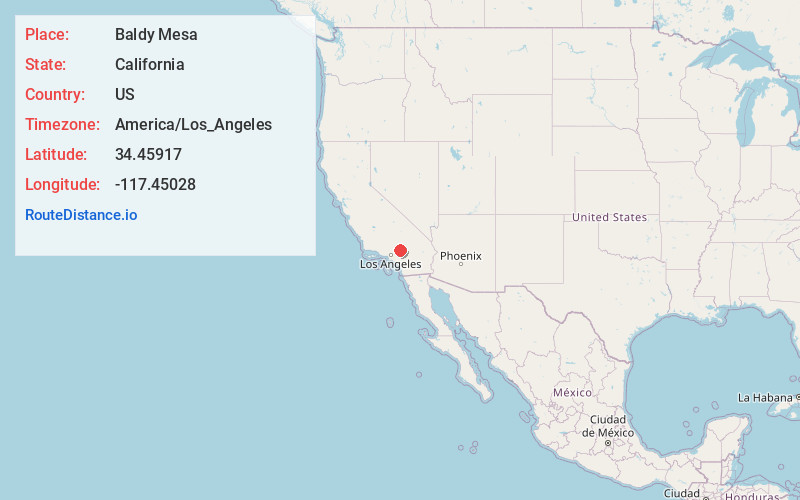
Full AddressBaldy Mesa, CA 92392
-
Coordinates34.45917, -117.45028
-
LocationBaldy Mesa , California , US
-
TimezoneAmerica/Los_Angeles
-
Current Local Time12:28:44 AM America/Los_AngelesWednesday, June 18, 2025
-
Page Views0
About Baldy Mesa
Baldy Mesa is an unincorporated community in the Victor Valley of the Mojave Desert, within San Bernardino County, California. It is a rural desert community north of the Cajon Pass and the San Gabriel Mountains.


Nearby Places
Found 10 places within 50 miles

Oak Hills
2.4 mi
3.9 km
Oak Hills, CA
Get directions

Mountain View Acres
6.3 mi
10.1 km
Mountain View Acres, CA 92392
Get directions

Phelan
7.3 mi
11.7 km
Phelan, CA 92371
Get directions

Hesperia
8.1 mi
13.0 km
Hesperia, CA
Get directions

Adelanto
8.9 mi
14.3 km
Adelanto, CA
Get directions

Victorville
10.4 mi
16.7 km
Victorville, CA
Get directions

Wrightwood
12.5 mi
20.1 km
Wrightwood, CA
Get directions

Cosy Dell
12.5 mi
20.1 km
Cosy Dell, CA 92407
Get directions
La Delta
14.0 mi
22.5 km
La Delta, CA 92368
Get directions

Keenbrook
14.5 mi
23.3 km
Keenbrook, CA 92407
Get directions
Location Links
Local Weather
Weather Information
Coming soon!
Location Map
Static map view of Baldy Mesa, California
Browse Places by Distance
Places within specific distances from Baldy Mesa
Short Distances
Long Distances
Click any distance to see all places within that range from Baldy Mesa. Distances shown in miles (1 mile ≈ 1.61 kilometers).