Distance to Bancroft Township, Minnesota

Calculating Your Route
Just a moment while we process your request...
Location Information
-
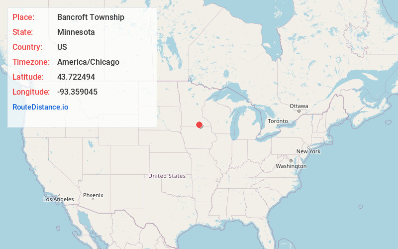
Full AddressBancroft Township, MN
-
Coordinates43.7224941, -93.3590446
-
LocationBancroft Township , Minnesota , US
-
TimezoneAmerica/Chicago
-
Current Local Time10:25:38 PM America/ChicagoFriday, May 30, 2025
-
Page Views0
About Bancroft Township
Bancroft Township is a township in Freeborn County, Minnesota, United States. The population was 1,065 at the 2000 census.
Bancroft Township was organized in 1858, and named for George Bancroft, an American historian.


Nearby Places
Found 10 places within 50 miles

Bancroft
1.5 mi
2.4 km
Bancroft, MN 56007
Get directions
Clarks Grove
3.2 mi
5.1 km
Clarks Grove, MN 56016
Get directions
Lerdal
4.5 mi
7.2 km
Lerdal, Riceland Township, MN 56007
Get directions
Manchester
4.6 mi
7.4 km
Manchester, MN 56007
Get directions

Albert Lea
5.2 mi
8.4 km
Albert Lea, MN 56007
Get directions
Armstrong
6.8 mi
10.9 km
Armstrong, MN 56007
Get directions
Bath
7.3 mi
11.7 km
Bath, MN 56042
Get directions
Hayward
7.6 mi
12.2 km
Hayward, MN 56043
Get directions
Sigsbee
7.8 mi
12.6 km
Sigsbee, Riceland Township, MN 56007
Get directions
Hollandale
8.2 mi
13.2 km
Hollandale, MN 56045
Get directions
Location Links
Local Weather
Weather Information
Coming soon!
Location Map
Static map view of Bancroft Township, Minnesota
Browse Places by Distance
Places within specific distances from Bancroft Township
Short Distances
Long Distances
Click any distance to see all places within that range from Bancroft Township. Distances shown in miles (1 mile ≈ 1.61 kilometers).