Distance to Clarks Grove, Minnesota

Calculating Your Route
Just a moment while we process your request...
Location Information
-
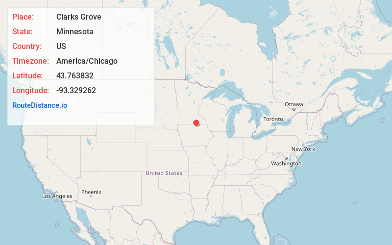
Full AddressClarks Grove, MN 56016
-
Coordinates43.763832, -93.3292623
-
LocationClarks Grove , Minnesota , US
-
TimezoneAmerica/Chicago
-
Current Local Time10:05:28 AM America/ChicagoThursday, June 19, 2025
-
Page Views0
About Clarks Grove
Clarks Grove is a city in Freeborn County, Minnesota, United States. The population was 706 at the 2010 census.
Nearby Places
Found 10 places within 50 miles

Albert Lea
8.3 mi
13.4 km
Albert Lea, MN 56007
Get directions

New Richland
12.1 mi
19.5 km
New Richland, MN 56072
Get directions

Blooming Prairie
15.7 mi
25.3 km
Blooming Prairie, MN 55917
Get directions

Austin
18.9 mi
30.4 km
Austin, MN 55912
Get directions

Wells
19.7 mi
31.7 km
Wells, MN 56097
Get directions

Northwood
22.7 mi
36.5 km
Northwood, IA 50459
Get directions

Owatonna
23.0 mi
37.0 km
Owatonna, MN
Get directions
Brownsdale
23.0 mi
37.0 km
Brownsdale, MN 55918
Get directions

Waseca
23.4 mi
37.7 km
Waseca, MN 56093
Get directions
Hayfield
25.6 mi
41.2 km
Hayfield, MN 55940
Get directions
Location Links
Local Weather
Weather Information
Coming soon!
Location Map
Static map view of Clarks Grove, Minnesota
Browse Places by Distance
Places within specific distances from Clarks Grove
Short Distances
Long Distances
Click any distance to see all places within that range from Clarks Grove. Distances shown in miles (1 mile ≈ 1.61 kilometers).