Distance to Barlow, Ohio

Calculating Your Route
Just a moment while we process your request...
Location Information
-
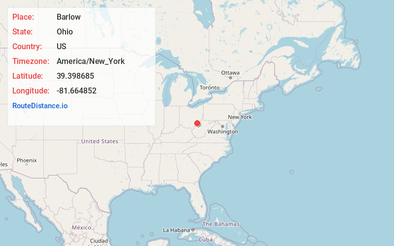
Full AddressBarlow, OH 45784
-
Coordinates39.3986852, -81.6648516
-
LocationBarlow , Ohio , US
-
TimezoneAmerica/New_York
-
Current Local Time1:26:58 PM America/New_YorkSaturday, June 21, 2025
-
Page Views0
About Barlow
Barlow is an unincorporated community in western Barlow Township, Washington County, Ohio, United States. Although it is unincorporated, it has a ZIP code 45712. It lies at the intersection of State Routes 339 and 550 near the South Fork of Wolf Creek, which meets the Muskingum River at Waterford to the north.
Nearby Places
Found 10 places within 50 miles

Vincent
1.7 mi
2.7 km
Vincent, OH 45784
Get directions

Fleming
2.9 mi
4.7 km
Fleming, OH 45729
Get directions

Layman
3.2 mi
5.1 km
Layman, OH 45786
Get directions
Napier
3.3 mi
5.3 km
Napier, Fairfield Township, OH 45784
Get directions
Dunbar
4.9 mi
7.9 km
Dunbar, Fairfield Township, OH 45724
Get directions
Watertown
4.9 mi
7.9 km
Watertown, OH 45786
Get directions
Qualey
5.8 mi
9.3 km
Qualey, Fairfield Township, OH 45724
Get directions
Corner
6.2 mi
10.0 km
Corner, Belpre Township, OH 45714
Get directions
Wolf Creek
6.6 mi
10.6 km
Wolf Creek, OH 43787
Get directions
Constitution
6.8 mi
10.9 km
Constitution, Warren Township, OH 45750
Get directions
Location Links
Local Weather
Weather Information
Coming soon!
Location Map
Static map view of Barlow, Ohio
Browse Places by Distance
Places within specific distances from Barlow
Short Distances
Long Distances
Click any distance to see all places within that range from Barlow. Distances shown in miles (1 mile ≈ 1.61 kilometers).