Distance to Barnwell, Alabama

Calculating Your Route
Just a moment while we process your request...
Location Information
-
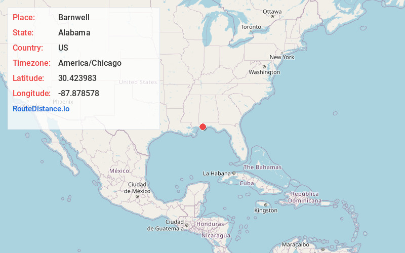
Full AddressBarnwell, AL 36532
-
Coordinates30.423983, -87.878578
-
LocationBarnwell , Alabama , US
-
TimezoneAmerica/Chicago
-
Current Local Time9:25:33 AM America/ChicagoWednesday, June 4, 2025
-
Page Views0
About Barnwell
Barnwell is an unincorporated community in Baldwin County, Alabama, United States. It is located along US 98 in the southern part of the county. Some municipal services are provided by Fairhope. Barnwell is designated by the USGS as a populated place that is neither incorporated nor a census-designated place.

Nearby Places
Found 10 places within 50 miles

Turkey Branch
2.5 mi
4.0 km
Turkey Branch, AL 36532
Get directions
Yupon
3.8 mi
6.1 km
Yupon, AL 36535
Get directions

Point Clear
4.2 mi
6.8 km
Point Clear, AL 36532
Get directions
River Park
4.4 mi
7.1 km
River Park, AL 36532
Get directions
Battles Wharf
5.7 mi
9.2 km
Battles Wharf, Point Clear, AL 36532
Get directions
Loyola Villa
6.0 mi
9.7 km
Loyola Villa, Point Clear, AL 36532
Get directions

Magnolia Springs
6.3 mi
10.1 km
Magnolia Springs, AL
Get directions

Fairhope
7.0 mi
11.3 km
Fairhope, AL 36532
Get directions

Montrose Historic District
10.2 mi
16.4 km
Montrose Historic District, AL 36532
Get directions

Silverhill
11.3 mi
18.2 km
Silverhill, AL 36576
Get directions
Location Links
Local Weather
Weather Information
Coming soon!
Location Map
Static map view of Barnwell, Alabama
Browse Places by Distance
Places within specific distances from Barnwell
Short Distances
Long Distances
Click any distance to see all places within that range from Barnwell. Distances shown in miles (1 mile ≈ 1.61 kilometers).